 | ||
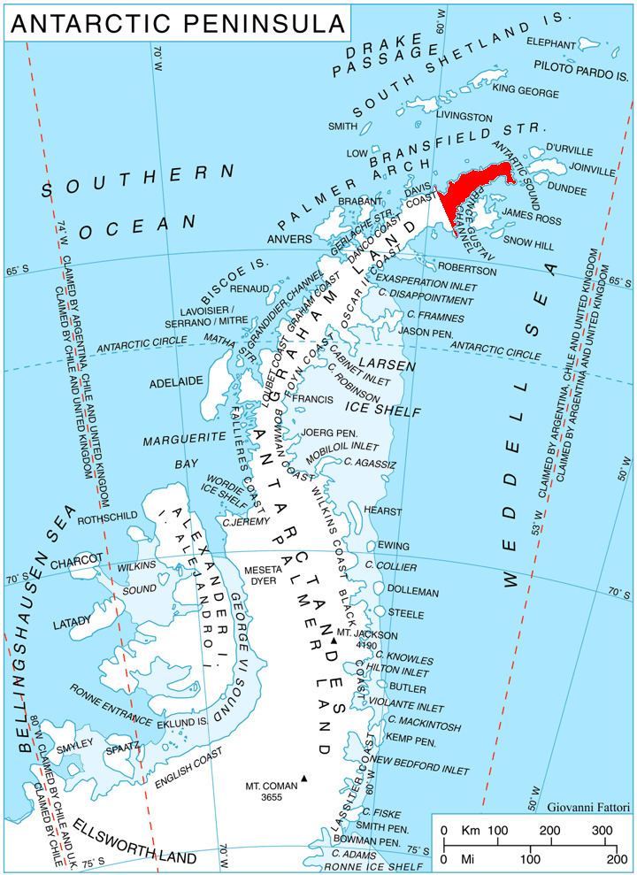
Ebony Wall (63°55′S 59°9′W) is a dark, nearly vertical rock wall in Antarctica, which rises about 400 metres (1,300 ft) at the head of Pettus Glacier. The wall is about 2 nautical miles (4 km) long and forms a part of the western escarpment of Detroit Plateau near the base of Trinity Peninsula. It was charted in 1948 by the Falkland Islands Dependencies Survey who applied the descriptive name.
Contents
Map of Ebony Wall, Antarctica
Map
References
Ebony Wall Wikipedia(Text) CC BY-SA
