
Country Austria District Klagenfurt-Land Vehicle registration KL Elevation 415 m Local time Friday 6:21 PM Postal code 9065 | State Carinthia Time zone CET (UTC+1) Website www.ebenthal.co.at Area 54.99 km² Population 7,683 (1 Apr 2009) Area code 0463 | |
 | ||
Weather 8°C, Wind NW at 5 km/h, 34% Humidity | ||
Ebenthal (Slovene: Žrelec) is a town in the district of Klagenfurt-Land in the Austrian state of Carinthia.
Contents
Map of Ebenthal, Austria
Geography
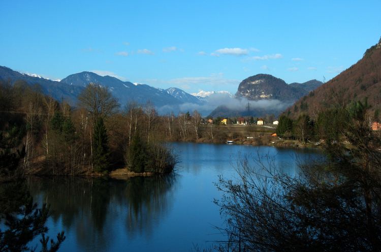
Ebenthal lies southeast of Klagenfurt. The Sattnitz Mountains stretch east and west and are a popular goal for outings. The Glan and the Gurk flow through the municipality and into the nearby Wörther Lake. The Glanfurt flows into the Glan near the middle of the municipality. The Radsberg forms the southern boundary of the municipality.
The nature reserve Höflein-Moor is in the municipality.
Population
According to the 2001 census 4.2% of the population are Carinthian Slovenes.
References
Ebenthal Wikipedia(Text) CC BY-SA