
Population 536 (2011) | Postcode(s) 4304 Postal code 4304 | |
 | ||
State electorate(s) Electoral district of Bundamba | ||
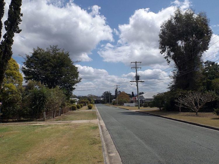
Ebbw Vale is a suburb of Ipswich, Queensland, Australia. The name Ebbw Vale is of old Welsh origin. Ebbw Vale is named after the town of Ebbw Vale in Wales. Its name in Welsh is Glyn Ebwy. The Cunningham Highway marks the eastern and southern boundaries of the suburb. At the 2011 Australian Census the suburb recorded a population of 526.
Contents
Map of Ebbw Vale QLD 4304, Australia
Ebbw Vale is named after a coal mine which formerly operated in the area. The coal mine was named after the Welsh town of Ebbw Vale, Wales.
Heritage listings
Ebbw Vale has a number of heritage-listed sites, including:
Transport
Ebbw Vale railway station provides access to regular Queensland Rail City network services to Brisbane, Ipswich and Rosewood via Ipswich.
References
Ebbw Vale, Queensland Wikipedia(Text) CC BY-SA