
Area 140,699 km² | No. of Counties: 8 Time zone EAT (UTC+3) Population 5.668 million (2009) | |
 | ||
North eastern province kenya
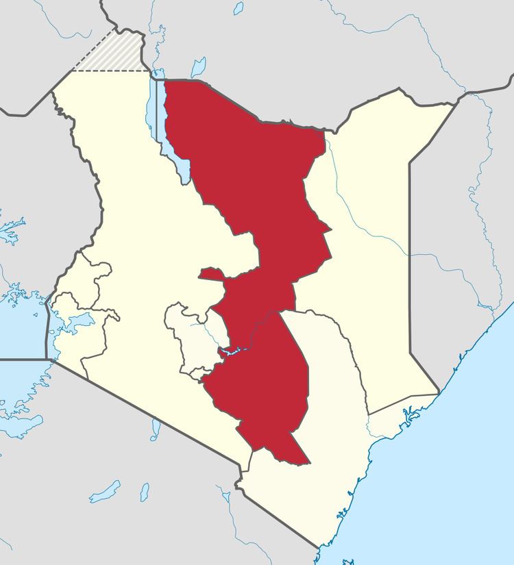
The Eastern Province (Swahili: Mashariki) of Kenya was one of 8 Provinces of Kenya. Its northern boundary ran along with that of Ethiopia; the North Eastern Province and Coast Province lay to the east and south; and the remainder of Kenya's provinces, including Central Province, ran along its western border. The provincial capital was Embu.
Contents
Overview
On 16 July 2009, the province was sub-divided into 3 Sub-Provinces namely lower eastern with Machakos as headquarters, central eastern with Meru as headquarters, and upper eastern with Marsabit as headquarters; however those changes never took effect due to the political wrangles in the Kenyan coalition government at the time. The sub-division of provinces were carried out in all seven Provinces of Kenya, excluding Nairobi. As of March 2013 after the Kenyan general election, 2013, the Eastern Province was subdivided into 8 counties namely:
The province was principally inhabited by the Meru, Kamba and Embu and several pastoralist communities. In 1979 its population was 2.7 million; in 1999, 4,631,779 (according to the 1999 census) and in 2009 the province would have had a population of 5,668,123. In terms of area, it was the second largest province at (140,698.6 km²) in Kenya.
Geography
Eastern Province of Kenya includes the Chalbi Desert, Mount Kenya, and the eastern half of Lake Turkana. The climate in the region is arid to semi-arid. Its most important permanent river is Ewaso Ng'iro.