
OS grid reference SU347771 Local time Friday 11:00 AM | Sovereign state United Kingdom | |
 | ||
Weather 10°C, Wind S at 11 km/h, 92% Humidity | ||
Eastbury is a small village in the valley of the River Lambourn in the English county of Berkshire. The village is situated on the old river level road from Newbury to Lambourn, and is 1.5 miles (2.4 km) east of Lambourn and 1 mile (1.6 km) west of East Garston. The village is situated in the civil parish of Lambourn (where according to the grid ref the majority of the 2011 Census population was included), which is within the unitary authority of West Berkshire.
Contents
Map of Eastbury, Hungerford, UK
Geography
Eastbury has three ites of Special Scientific Interest (SSSI) within close vicinity to the village, these are White Shute, Westfield Farm Chalk Bank and Cleeve Hill.
River Lambourn
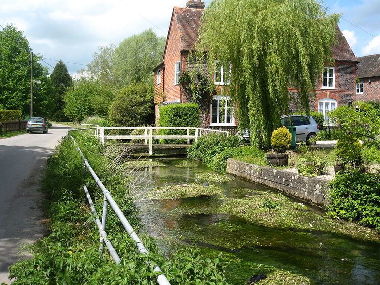
Bernard's Ford on the River Lambourn is found to the west of the village, suitable only for tractors and horses, but there is also a footbridge. Here the river forced its banks in July 2007 and flowed down the Newbury Road for over a hundred yards before rejoining the river.
The Plough Inn
The Lambourn runs through the middle of Eastbury, and past the Plough Inn, which holds the Great Eastbury Duck Race on the river in May.