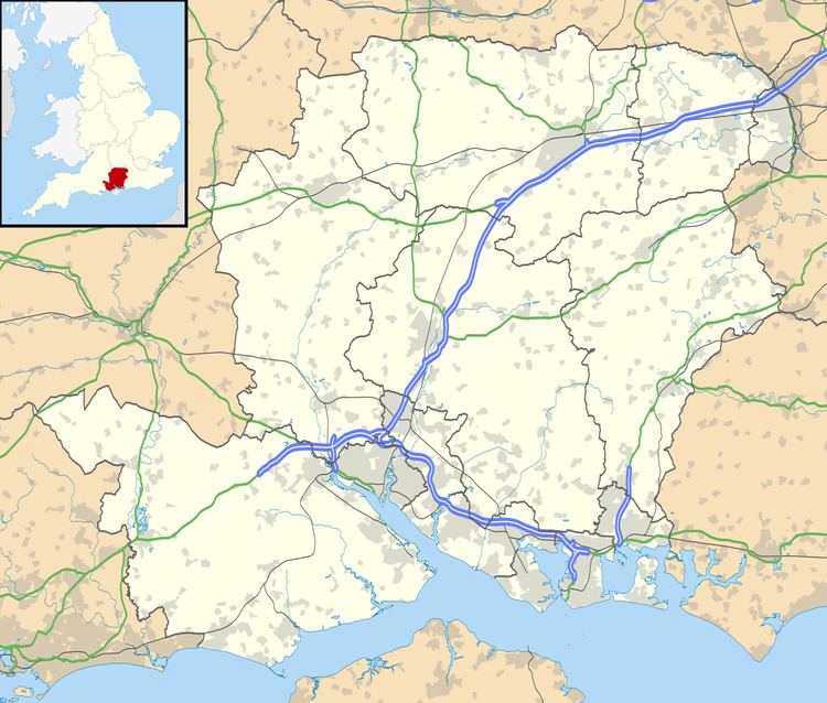
Population 221
209 (2011 Census) Civil parish East Tisted Country England Shire county Hampshire UK parliament constituency East Hampshire | OS grid reference SU701322 Region South East Sovereign state United Kingdom District East Hampshire | |
 | ||
Weather 7°C, Wind SE at 13 km/h, 100% Humidity | ||
East Tisted /ˈiːstˌtaɪstɛd/ is a village and civil parish in the East Hampshire district of Hampshire, England. It is 4.8 miles (7.7 km) south of Alton on the A32 road.
The nearest railway station is 4.7 miles (7.7 km) north of the village, at Alton.
The village lies 50 miles south-west of London, 14 miles east of the city of Winchester, 3.5 miles north-east of the village of West Tisted, 2.5 miles west of the village of Selborne, and 1.5 miles west of the village of Newton Valence. It has a population of about 200, residing in about 100 households.
The village church, St. James, and the Rectory lie to the west of the village on the east side of the A32 road.
Tisted railway station and the route of the Meon Valley Railway—both closed since 1955—lie to the east of the village.
East Tisted had a primary school, also serving some of the surrounding villages, until its closure in 1981 due to falling numbers.
Rotherfield Park lies to the west of the village, on the opposite side of the A32 road to that of the village.
