
County Tuolumne FIPS code 06-21188 Elevation 642 m Zip code 95370 Area code 209 | Time zone Pacific (PST) (UTC-8) GNIS feature ID 1785607 Area 6.425 km² Population 2,266 (2010) | |
 | ||
Neighborhoods Mono Village, Sonora Hills, Greenley Oaks | ||
East Sonora is a census-designated place (CDP) in Tuolumne County, California, United States. The population was 2,266 at the 2010 census, up from 2,078 at the 2000 census.
Contents
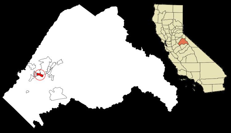
Map of East Sonora, CA 95370, USA
Geography
East Sonora is located at 37°58′50″N 120°20′53″W (37.980561, -120.347961).
According to the United States Census Bureau, the CDP has a total area of 2.5 square miles (6.5 km2), 99.79% of it land and 0.21% of it water.
2010
The 2010 United States Census reported that East Sonora had a population of 2,266. The population density was 913.4 people per square mile (352.7/km²). The racial makeup of East Sonora was 2,129 (94.0%) White, 7 (0.3%) African American, 16 (0.7%) Native American, 32 (1.4%) Asian, 1 (0.0%) Pacific Islander, 35 (1.5%) from other races, and 46 (2.0%) from two or more races. Hispanic or Latino of any race were 152 persons (6.7%).
The Census reported that 2,151 people (94.9% of the population) lived in households, 1 (0%) lived in non-institutionalized group quarters, and 114 (5.0%) were institutionalized.
There were 1,150 households, out of which 167 (14.5%) had children under the age of 18 living in them, 422 (36.7%) were opposite-sex married couples living together, 80 (7.0%) had a female householder with no husband present, 26 (2.3%) had a male householder with no wife present. There were 63 (5.5%) unmarried opposite-sex partnerships, and 9 (0.8%) same-sex married couples or partnerships. 544 households (47.3%) were made up of individuals and 393 (34.2%) had someone living alone who was 65 years of age or older. The average household size was 1.87. There were 528 families (45.9% of all households); the average family size was 2.62.
The population was spread out with 288 people (12.7%) under the age of 18, 128 people (5.6%) aged 18 to 24, 314 people (13.9%) aged 25 to 44, 557 people (24.6%) aged 45 to 64, and 979 people (43.2%) who were 65 years of age or older. The median age was 60.4 years. For every 100 females there were 74.7 males. For every 100 females age 18 and over, there were 69.9 males.
There were 1,279 housing units at an average density of 515.6 per square mile (199.1/km²), of which 694 (60.3%) were owner-occupied, and 456 (39.7%) were occupied by renters. The homeowner vacancy rate was 5.3%; the rental vacancy rate was 11.1%. 1,338 people (59.0% of the population) lived in owner-occupied housing units and 813 people (35.9%) lived in rental housing units.
2000
As of the census of 2000, there were 2,078 people, 1,064 households, and 600 families residing in the CDP. The population density was 805.9 people per square mile (311.0/km²). There were 1,145 housing units at an average density of 444.1 per square mile (171.4/km²). The racial makeup of the CDP was 93.98% White, 0.82% African American, 0.48% Native American, 0.67% Asian, 0.05% Pacific Islander, 0.96% from other races, and 3.03% from two or more races. Hispanic or Latino of any race were 6.11% of the population.
There were 1,064 households out of which 15.4% had children under the age of 18 living with them, 46.3% were married couples living together, 7.0% had a female householder with no husband present, and 43.6% were non-families. 39.8% of all households were made up of individuals and 30.3% had someone living alone who was 65 years of age or older. The average household size was 1.94 and the average family size was 2.53.
In the CDP, the population was spread out with 15.0% under the age of 18, 3.5% from 18 to 24, 14.9% from 25 to 44, 23.9% from 45 to 64, and 42.7% who were 65 years of age or older. The median age was 60 years. For every 100 females there were 80.5 males. For every 100 females age 18 and over, there were 77.2 males.
The median income for a household in the CDP was $34,922, and the median income for a family was $50,222. Males had a median income of $46,250 versus $23,250 for females. The per capita income for the CDP was $23,254. About 2.8% of families and 5.4% of the population were below the poverty line, including none of those under age 18 and 8.7% of those age 65 or over.
History
There really is not a place called East Sonora, at least no signs to signify it as such, so most people just say they are from Sonora, California, proper. They would be Sonorans in the 21st century, or Sonorians in the 19th century.
Government
In the California State Legislature, East Sonora is in the 8th Senate District, represented by Republican Tom Berryhill, and the 5th Assembly District, represented by Republican Frank Bigelow.
In the United States House of Representatives, East Sonora is in California's 4th congressional district, represented by Republican Tom McClintock.