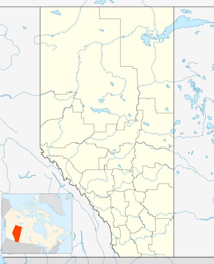
Country Canada Census division 17 Local time Friday 1:21 AM | Time zone MST (UTC-7) Population 304 (2016) | |
 | ||
Weather -19°C, Wind E at 13 km/h, 66% Humidity | ||
East Prairie Metis Settlement is a Metis settlement in northern Alberta, Canada within Big Lakes County. It is located approximately 20 km (12 mi) south of Highway 2 and 168 km (104 mi) east of Grande Prairie. It was founded in 1939.
Contents
Map of East Prairie Metis Settlement, AB, Canada
Demographics
As a designated place in the 2016 Census of Population conducted by Statistics Canada, the East Prairie Metis Settlement recorded a population of 304 living in 98 of its 157 total private dwellings, a change of 2998831009999900000♠−16.9% from its 2011 population of 366. With a land area of 334.44 km2 (129.13 sq mi), it had a population density of 0.9/km2 (2.4/sq mi) in 2016.
As a designated place in the 2011 Census, East Prairie had a population of 366 living in 106 of its 135 total dwellings, a change of 4% from its 2006 population of 352. With a land area of 333.87 km2 (128.91 sq mi), it had a population density of 1.0962/km2 (2.839/sq mi) in 2011.
The population of the East Prairie Metis Settlement according to its 2009 municipal census is 906.
