
Country United States Time zone CST (UTC-6) Population 4,269 (2010) | City Minneapolis ZIP code 55404, 55407 Area code 612 | |
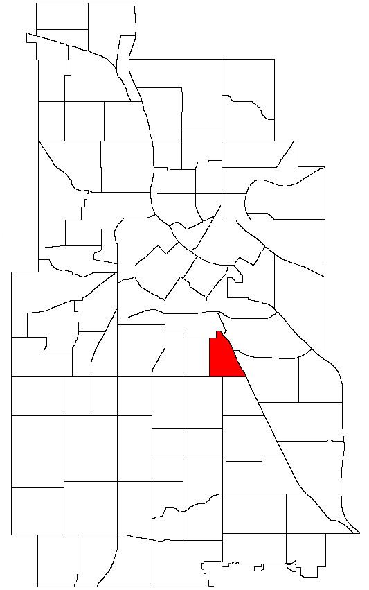 | ||
East Phillips is a neighborhood within the Phillips community in Minneapolis. Its northern boundary runs along East 24th Street from Bloomington Avenue to 17th Avenue South, then runs along East 22nd Street from 17th Avenue South to Hiawatha Avenue. Its other boundaries are Hiawatha Avenue to the east, East Lake Street to the south, and Bloomington Avenue to the west. The Phillips community has only been subdivided into smaller neighborhoods within the last couple years; the boundaries of East Phillips were officially designated on December 23, 2005. As this change has been fairly recent, most residents still refer to the area as just "Phillips".
References
East Phillips, Minneapolis Wikipedia(Text) CC BY-SA