
Country United States Time zone CST (UTC-6) Elevation 201 m Local time Friday 1:55 AM | Established November 8, 1859 ZIP codes 61912, 61943 Area 101.9 km² Population 1,388 (2010) | |
 | ||
Weather 1°C, Wind N at 27 km/h, 73% Humidity | ||
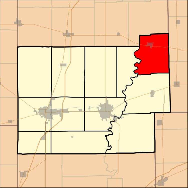
East Oakland Township is one of twelve townships in Coles County, Illinois, USA. As of the 2010 census, its population was 1,388 and it contained 663 housing units. The township changed its name from Oakland Township on May 7, 1860.
Contents
- Map of East Oakland Township IL USA
- Geography
- Cities towns villages
- Extinct towns
- Cemeteries
- Major highways
- School districts
- Political districts
- References
Map of East Oakland Township, IL, USA
Geography
According to the 2010 census, the township has a total area of 39.33 square miles (101.9 km2), of which 39.25 square miles (101.7 km2) (or 99.80%) is land and 0.08 square miles (0.21 km2) (or 0.20%) is water.
Cities, towns, villages
Extinct towns
Cemeteries
The township contains six cemeteries: Bell, Berry, Fairview, Oak Grove, Rosedale and Shields.
Major highways
School districts
Political districts
References
East Oakland Township, Coles County, Illinois Wikipedia(Text) CC BY-SA