
Average depth 67 ft (20 m) Surface elevation 1,951 m Mean depth 20 m | Surface area 1,044 acres (4.2 km) Max. depth 180 ft (55 m) Area 4.225 km² | |
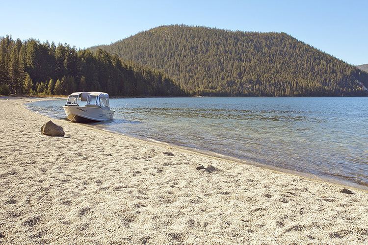 | ||
East Lake is one of the twin lakes that occupy part of the Newberry Crater or caldera in Central Oregon, United States. It is located in the Deschutes National Forest near the city of La Pine. The caldera was formed over 500,000 years ago from volcanic eruptions. East Lake's water comes from snow melt, rain fall, and hot springs only. The average depth is 67 feet (20 m), 180 feet (55 m) at the deepest point, and covers 1,044 acres (4.2 km2). East Lake is about 50 feet (15 m) higher in elevation and is to the east of its twin, Paulina Lake.
Map of East Lake, Oregon 97739, USA
East Lake has two main camping grounds along the lake shore as well as East Lake Resort. The resort has cabins and boats for rent as well as a general store. The lake offers fishing for brown trout and rainbow trout. The lake is stocked with sockeye salmon (Kokanee) and Atlantic salmon.