
Location Bay of Bengal Adjacent bodies of water Indian Ocean Major islands East Elevation 89 m Postal code 744202 Island group Andaman Islands | Archipelago Andaman Islands Total islands 1 Length 3.9 km (2.42 mi) Area 3.1 km² Area code 031927 Adjacent body of water Indian Ocean | |
 | ||
East Island is an island of the Andaman Islands. It belongs to the North and Middle Andaman administrative district, part of the Indian union territory of Andaman and Nicobar Islands. the island is lying 220 km (137 mi) north from Port Blair.
Contents
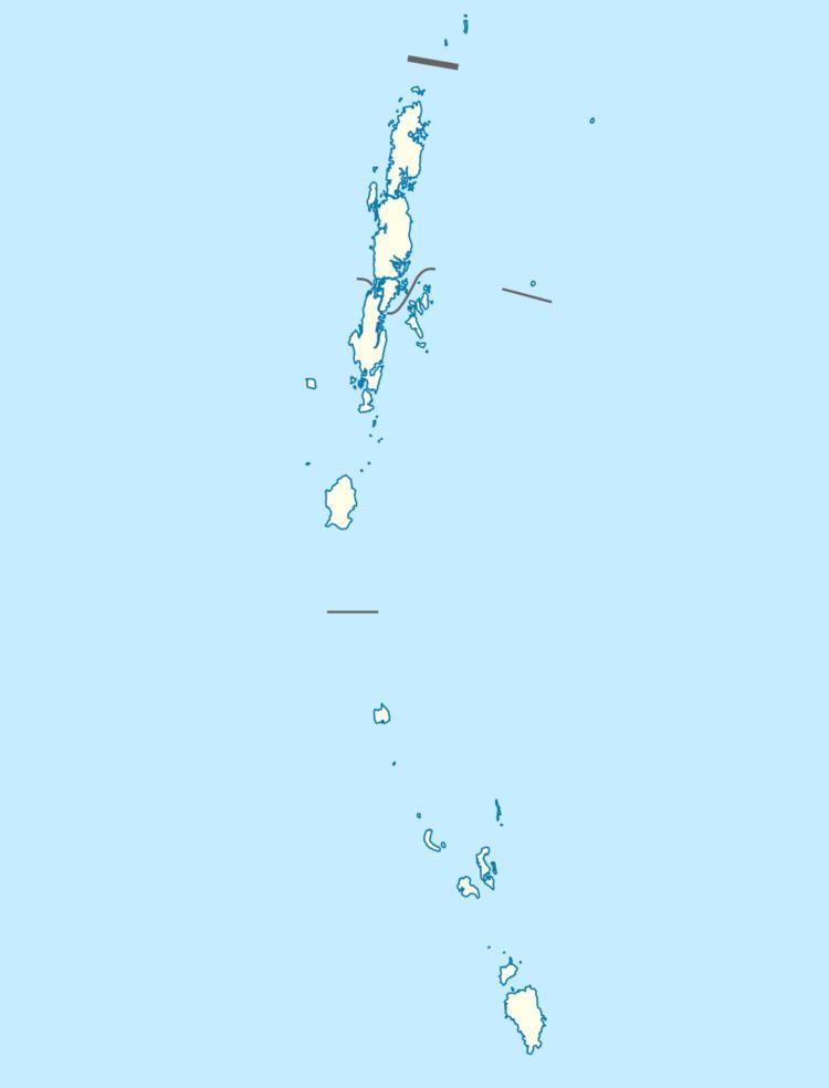
- Map of East Island Andaman and Nicobar Islands
- History
- Geography
- Administration
- Transportation
- Demographics
- References
Map of East Island, Andaman and Nicobar Islands
History
The island was severely affected by the tsunami that was caused by the 2004 Indian Ocean earthquake, which led to damaged infrastructure. East Island Lighthouse was established in 1969 and is shown from a white, round metal tower with red bands standing on the South summit of the island; a recon is situated at the light. This lighthouse marks the northern end of the Andaman Islands.
Geography
The island falls in between Coco Islands and North Andaman Island. It belongs to the Cleugh Passage Group and lies immediately north of the passage. The island is small, having an area of 3.1 km2 (1.2 sq mi).
Administration
Politically, East Island, along neighboring Cleugh Passage Group Islands, is part of Diglipur Taluk. The village is near the Police station.
Transportation
Ship service is available from Diglipur. Ship travel is only by special demand.
Demographics
There is only 1 village. According to the 2011 census of India, the Island has xxx households. The effective literacy rate (i.e. the literacy rate of population excluding children aged 6 and below) is 100%.