
Population 1,571 (2011 census) Area 15.02 km² Dialling code 01635 | OS grid reference SU4981 Local time Friday 6:24 AM | |
 | ||
Weather 7°C, Wind SE at 11 km/h, 84% Humidity | ||
Woodway ridgeway aldworth ashampstead hampstead norris east ilsley blewbury xvid 6 avi
East Ilsley is a village and civil parish in the Berkshire or Lambourn Downs northern part of West Berkshire, north of Newbury centred immediately east of the A34 road dual carriageway which passes through the length of the village from north to south. It is in the ceremonial and historic county of Berkshire and has the vast majority of its buildings in a traditional clustered centre.
Contents
- Woodway ridgeway aldworth ashampstead hampstead norris east ilsley blewbury xvid 6 avi
- Map of East Ilsley UK
- Amenities
- Sheep market
- Hildersley
- Economy in the 1870s
- Notable inhabitantsbirths here
- Church
- Public transport
- Roads
- Footpaths
- Racehorse training
- Demography
- References
Map of East Ilsley, UK
Amenities
The village has a highest grade listed church that is mostly made from medieval stone, a minority of other buildings close by which are listed and pubs.
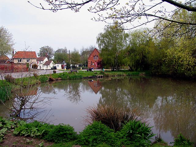
East Ilsley has an area to picnic by the pond, feeding the ducks, spend a few moments. Football is made available by local subscription on the recreation playground.
Sheep market
In 1620 East Ilsley was granted a charter to hold a sheep market in the village, however informally held from the reign of Henry II of England. This became the second largest sheep market, after Smithfield, London throughout the 19th century.
Hildersley
The parish was anciently called Hildersley, as in a medieval inscription in the church. West Ilsley was a hamlet in Ilsley. Ilsley has been attributed by antiquaries as a leading contender for the uncertain site of the Battle of Ashdown (Alfred the Great's victory against the Danes). Hilde-Laege a strong plausible root of Hildersley means "Battle place".
Economy in the 1870s
Its real property (farms and homes) were worth £4,490 (equivalent to £387,447 in 2015) and its population in the United Kingdom Census 1871 was 746. It had 130 houses. This capital was remarked in a contemporary description as owned by a few. The manor belonged to Capt. Woodley, and great part of the land to Col. Robert Loyd-Lindsay. The benefice remained in the default form of a rectory (rather than a vicarage) in the diocese of Oxford, worth £722 (equivalent to £62,302 in 2015). Patron, Magdalen College, Oxford. There was by this time a National School.
Notable inhabitants/births here
Church
The church is partly Norman; has an early English style chancel, and an embattled tower; it was enlarged and repaired in 1845 and contains an old monument of one of the Hildesleys, ancient lords of the manor.
Public transport
East Ilsley's nearest station is Didcot Parkway, providing direct services to the West, West Midlands and London. The South Coast and East Anglia can be reached by changes at Reading/twice in London respectively.Compton railway station 1882-1962.
East Ilsley is served by buses 6 and 6A from Newbury.
Roads
See A34 road.
Footpaths
The Ridgeway long-distance footpath passes through a subway below the A34 approximately one mile north of the village.
Racehorse training
Racehorses have been trained at East Ilsley for about 200 years, as an offshoot from the economic centre of training in the UK and Ireland, ten miles west at Lambourn. .
Demography
Of its 216 homes in 2011, majority in this parish were owner-occupied; just over 10% were socially rented. Further context is as follows: