
OS grid reference NZ155402 Postcode district DL13 Local time Friday 6:06 AM Post town Darlington | Sovereign state United Kingdom | |
 | ||
Weather 4°C, Wind S at 10 km/h, 94% Humidity | ||
East Hedleyhope is a village in County Durham, in England. It is situated about 8 miles (13 km) west of Durham, up the Deerness valley. The main village comprises two streets, West View and Deerness View; there are also a few houses on the other side of the football pitch. In total there are approximately forty homes.
Contents
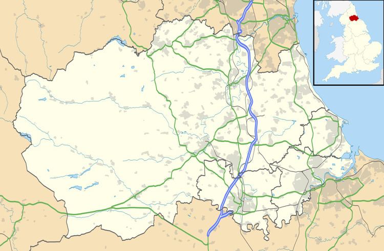
Map of East Hedleyhope, Bishop Auckland, UK
Economy
Historically, East Hedleyhope was a mining village and had a larger population.
Transport
The village is the terminus of the 52 bus service with a frequent service to Durham.
Public services
There is a thriving community with many social events which occur in the modern village hut. The young residents have good facilities such as the playground and the football pitch.
References
East Hedleyhope Wikipedia(Text) CC BY-SA