
Country United States City Council Ward 10 Area 3.17 km² Area code 612 | Time zone CST (UTC-6) Population 3,604 (2010) | |
 | ||
Restaurants Harriet's Inn, Our Kitchen, The Curry Diva, Java Jack's Coffee Cafe Inc, Piccolo | ||
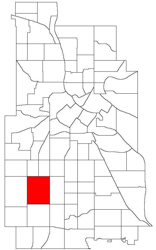
East Harriet is a neighborhood in the Southwest community in Minneapolis. Its boundaries are West 36th Street to the north, Lyndale Avenue South to the east, West 46th Street to the south, and Lake Harriet, Lakewood Cemetery, and William Berry Parkway to the west.
Contents
Map of East Harriet, Minneapolis, MN, USA
The home of Theodore Wirth, longtime architect of the Minneapolis park system, is located on the west side of this neighborhood.
Schools
Businesses
References
East Harriet, Minneapolis Wikipedia(Text) CC BY-SA