Max. width 4 mi (6 km) Length 35.4 km Surface elevation 132 m Catchment area 137 km² | Max. length 22 mi (35 km) Area 64.41 km² Width 6.4 km Mean depth 8.53 m | |
 | ||
Surface area 15,917 acres (6,441 ha) | ||
Dylan outdoors ep 1 icefishing on east grand lake
East Grand Lake is located between the U.S. state of Maine and the Canadian province of New Brunswick. The boundary between the United States and Canada passes through the lake. In Maine it falls within two counties, Washington and Aroostook, and in New Brunswick it serves as the western boundary of York County.
Contents
Map of Grand Lake
The lake is part of the Chiputneticook chain of lakes which also include Spednic, North, and Palfrey and form the headwaters of the St. Croix River. Formerly they were called the Shoodic Lakes.
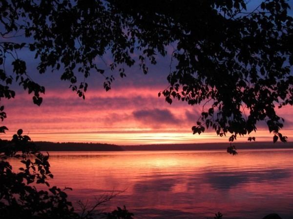
East Grand Lake is famous for its quality fishing and scenic beauty. The lake is 22 miles (35 km) long and 4 miles (6 km) in width at its widest point. The maximum depth of the lake is 128 ft (39 m).
Fishing is very popular on East Grand Lake. The lake is home to several species including landlocked salmon, lake trout, yellow perch, white perch, smallmouth bass, American eel, brook trout, and many more.
