Topo map USGS McDowell Peak Prominence 411 m | Elevation 1,240 m | |
 | ||
Similar Thompson Peak, Black Mountain, Chiricahua Peak, White Tank Mountains, Piestewa Peak | ||
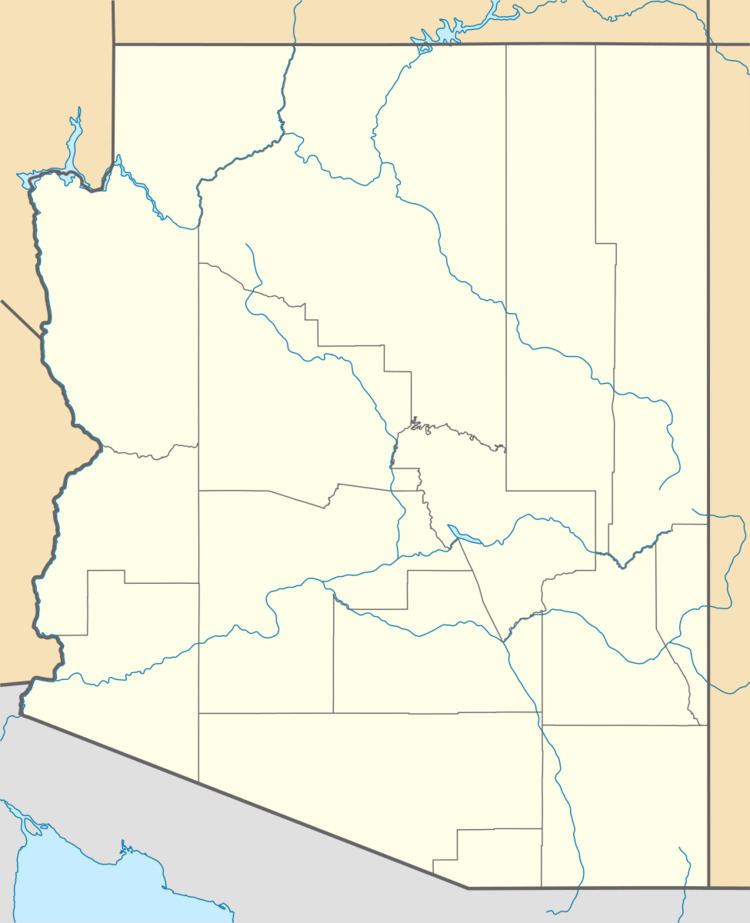
East End is a mountain located at the northeastern end of the McDowell Mountains and about 24 miles (39 km) north northeast of Scottsdale, Arizona. Its summit is the highest point in the range, at 4,069 feet (1,240 m). The mountain is mostly covered in rocky boulders, and is the site of the ancient Marcus Landslide.
Map of East End, Scottsdale, AZ 85255, USA
References
East End (Arizona) Wikipedia(Text) CC BY-SA
