
Population 349 (2011 census) Civil parish East Cottingwith Local time Friday 4:26 AM | OS grid reference SE703423 Dialling code 01759 | |
 | ||
Weather 5°C, Wind SE at 8 km/h, 84% Humidity | ||
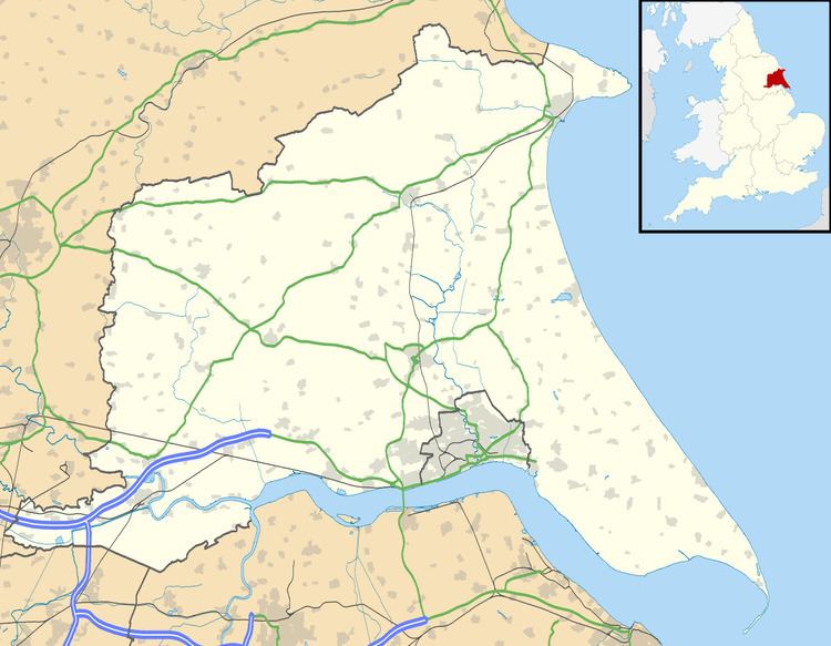
East Cottingwith is a village and civil parish in the East Riding of Yorkshire, England. It lies on the former Derwent Navigation (canal), and approximately 9 miles (14 km) north-west of the market town of Howden and 7 miles (11 km) south-west of the market town of Pocklington. The village is 1 mile (1.6 km) west of the B1228 road and just east of the River Derwent.
Map of East Cottingwith, York, UK
The civil parish is formed by the village of East Cottingwith and the hamlet of Storwood. According to the 2011 UK Census, East Cottingwith parish had a population of 349, an increase on the 2001 UK Census figure of 290.
The village church is St Mary's and is a Grade II listed building.
References
East Cottingwith Wikipedia(Text) CC BY-SA