
OS grid reference SE711442 Sovereign state United Kingdom Postcode district YO42 Dialling code 01759 | Post town YORK Local time Tuesday 8:37 PM Civil parish East Cottingwith | |
 | ||
Weather 11°C, Wind S at 8 km/h, 84% Humidity | ||
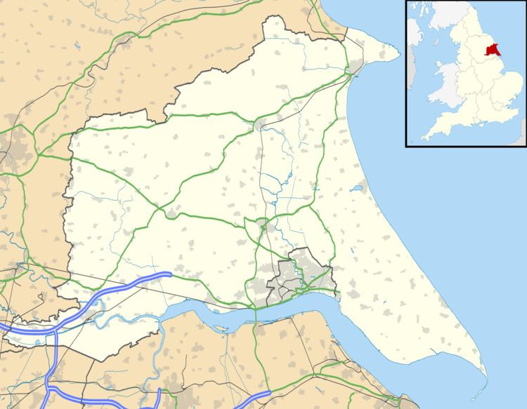
Storwood is a hamlet in the East Riding of Yorkshire, England. It is situated approximately 6 miles (9.7 km) south-west of Pocklington and lies to the south of the B1228 road on the south bank of the Pocklington Canal.
Map of Storwood, York, UK
It forms part of the civil parish of East Cottingwith.
References
Storwood Wikipedia(Text) CC BY-SA