
Country United States County Riverside Area codes 442/760 Elevation 82 m Zip code 92225 Population 3 (2000) | Time zone PST (UTC-8) FIPS code 06-20536 Area 130 ha Local time Thursday 7:29 PM | |
 | ||
Weather 21°C, Wind E at 2 km/h, 39% Humidity | ||
East Blythe is a former census-designated place (CDP) and unincorporated community in Riverside County, California, United States. The 2000 census population was three.
Contents
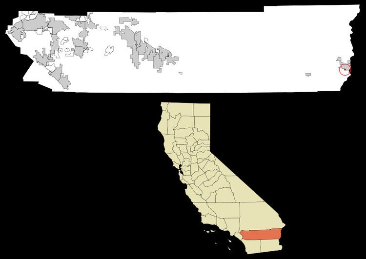
Map of East Blythe, CA 92225, USA
Geography
According to the United States Census Bureau, the CDP has a total area of 0.5 square miles (1.3 km2), all of it land.
Demographics
As of the census of 2000, there were three people, two households, and one family residing in the CDP. The population density was 5.8 people per square mile (2.3/km²). There were two housing units at an average density of 3.9 per square mile (1.5/km²). The racial makeup of the CDP was 100.00% White.
The two households consisted of a married couple living together (one forty-six and one twenty-five to forty-four) and a woman living alone who was sixty-five years of age or older. The average household size was 1.5 and the average family size was two.
Politics
In the state legislature East Blythe is located in the 40th Senate District, represented by Democrat Denise Moreno Ducheny, and in the 80th Assembly District, represented by Republican Bonnie Garcia.
In the United States House of Representatives, East Blythe is in California's 36th congressional district, represented by Democrat Raul Ruiz.