
Elevation 71 m (233 ft) Area code(s) +381(0)23 Local time Saturday 6:36 AM Postal code 23203 | Time zone CET (UTC+1) Car plates ZR Population 4,513 (2002) | |
 | ||
Weather 3°C, Wind N at 24 km/h, 75% Humidity | ||
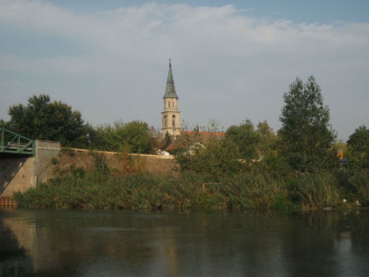
Ečka (Serbian Cyrillic: Ечка, [êtʃka]) is a village located in the Zrenjanin municipality, in the Central Banat District of Serbia. It is situated in the autonomous province of Vojvodina.
Contents
Map of Ecka, Serbia
Name and history
In Serbian, the village is known as Ečka (Ечка), in Romanian as Ecica or Ecica Română, in German as Deutsch-Etschka, and in Hungarian as Écska (until 1899: Német-Écska).
The village was merged with former settlement known as Mala Ečka (Мала Ечка) in Serbian, Alt Etschka in German, and Román-Écska or Olahécska in Hungarian.
Ethnic groups (2002 census)
The village has a Serb ethnic majority and its population numbering 4,513 people (2002 census).
Historical population
Trivia
References
Ečka Wikipedia(Text) CC BY-SA