
Local time Wednesday 7:45 PM | Population 1 | |
 | ||
Weather 2°C, Wind SE at 16 km/h, 82% Humidity Voivodeship Warmian-Masurian Voivodeship | ||
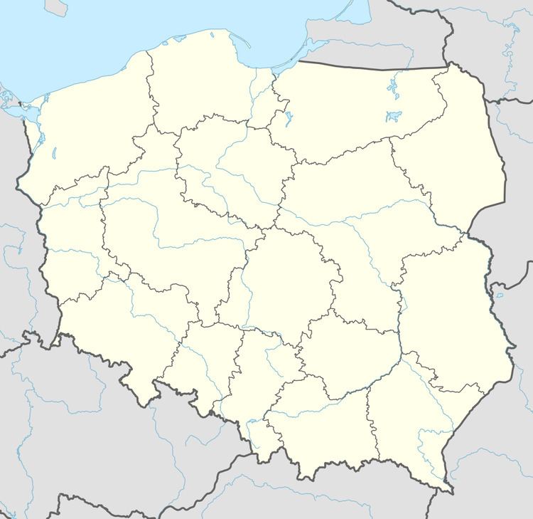
Działy [ˈd͡ʑawɨ] (German: Albertshof) is a settlement in the administrative district of Gmina Braniewo, within Braniewo County, Warmian-Masurian Voivodeship, in northern Poland, close to the border with the Kaliningrad Oblast of Russia. It lies approximately 4 kilometres (2 mi) south-west of Braniewo and 80 km (50 mi) north-west of the regional capital Olsztyn.
Map of Dzia%C5%82y, Poland
Before 1945 the area was part of Germany (East Prussia). Following World War II the native German populace was expelled and replaced by Poles.
The settlement has a population of 1.
References
Działy, Warmian-Masurian Voivodeship Wikipedia(Text) CC BY-SA