
Country Norway District Midt-Troms Area rank 282 in Norway Area 288.5 km² Local time Wednesday 5:25 PM | County Troms Administrative centre Brøstadbotn Demonym(s) Dyrøyværing Population 1,188 (2012) Official language form Bokmål | |
 | ||
Weather -3°C, Wind E at 16 km/h, 63% Humidity Points of interest Gommestranda, Merra, Pålsfjorden | ||
Dyrøy (Northern Sami: Divrráid suohkan) is a municipality in Troms county, Norway. The administrative centre of the municipality is the village of Brøstadbotn. Other villages include Dyrøyhamn, Espenes, Holm, and Hundstrand.
Contents
- Map of DyrC3B8y Norway
- General information
- Name
- Coat of arms
- Churches
- Geography
- Government
- Municipal council
- References
Map of Dyr%C3%B8y, Norway
The municipality is named after the island of Dyrøya, which is connected with the mainland with the modern Dyrøy Bridge. Most people, however, don't live on the island, but live in Brøstadbotn on the mainland.
General information
The municipality of Dyrøy was established on 1 September 1886, when it was separated from the municipality of Tranøy. The initial population of Dyrøy was 1,281. On 1 January 1964, the parts of Tranøy on the mainland (population: 382) were transferred to Dyrøy.
Name
The municipality (originally the parish) is named after the island of Dyrøya (Old Norse: Dýrøy), since the first church (Dyrøy Church) was built there. The first element is dýr which means "deer" (specifically reindeer) and the last element is øy which means "island". Prior to 1909, the name was written Dyrø.
Coat-of-arms
The coat-of-arms is from modern times. They were granted on 4 April 1986. The arms show a fox, especially a so-called platinum-fox, a typical type of the silver polar fox. This type of fox is first bred in the area around Dyrøy and was first shown in 1933.
Churches
The Church of Norway has one parish (sokn) within the municipality of Dyrøy. It is part of the Senja deanery in the Diocese of Nord-Hålogaland.
Geography
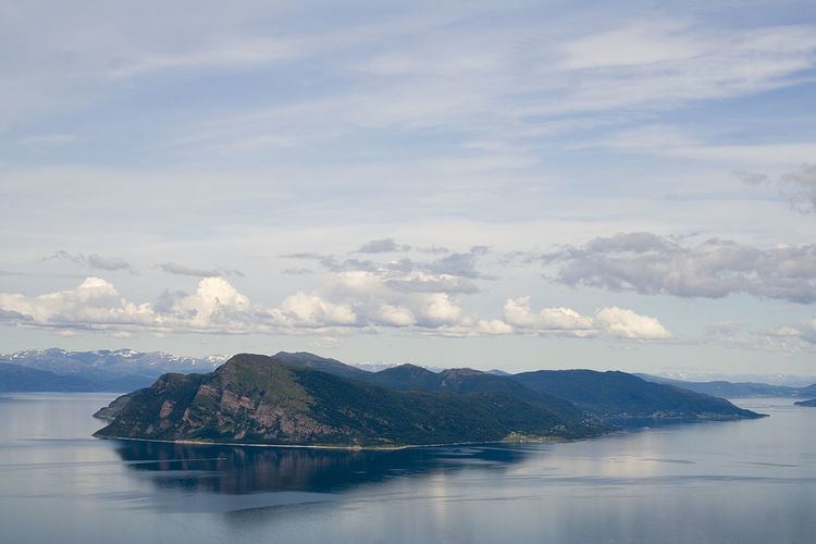
The municipality is located on the island of Dyrøya and the mainland area to the east, with the Dyrøy Bridge connecting the island to the mainland. The Vågsfjorden, Tranøyfjorden, and Solbergfjorden flow along the western and northern border of the municipality.
The municipality is mountainous with a narrow beach area along the coast. On the mainland, the Bjørkebakkdalen valley leads south from the municipal center Brøstadbotn. The municipality has several peaks over 1,000 metres (3,300 ft), the highest being the 1,237-metre (4,058 ft) tall Løksetind on the border with Salangen in the south.
Government
All municipalities in Norway, including Dyrøy, are responsible for primary education (through 10th grade), outpatient health services, senior citizen services, unemployment and other social services, zoning, economic development, and municipal roads. The municipality is governed by a municipal council of elected representatives, which in turn elect a mayor.
Municipal council
The municipal council (Kommunestyre) of Dyrøy is made up of 14 representatives that are elected to every four years. Currently, the party breakdown is as follows: