
Vehicle registration UK Elevation 1,510 m Local time Wednesday 5:46 PM | Time zone IST (UTC+5:30) Website uk.gov.in Population 11,000 (2011) | |
 | ||
Weather 11°C, Wind E at 11 km/h, 69% Humidity University Bipin Chandra Tripathi Kumaon Engineering College | ||
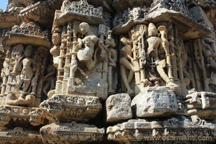
Dwarahat uttarakhand india
Dwarahat is a town and a nagar panchayat in Almora district in the state of Uttarakhand, India.
Contents
- Dwarahat uttarakhand india
- Map of Dwarahat Uttarakhand 263653
- uttrakhand jagar dwarahat vimandeshwar
- Geography
- Demographics
- Education
- References
Map of Dwarahat, Uttarakhand 263653
uttrakhand jagar dwarahat vimandeshwar
Geography
Dwarahat is located at 29.78°N 79.43°E / 29.78; 79.43. It has an average elevation of 1,510 metres (4954.068 feet).
Demographics
As of 2001 India census, Dwarahat had a population of 2543. Males constitute 53% of the population and females 47%. Dwarahat has an average literacy rate of 82%, higher than the national average of 59.5%: male literacy is 86% and, female literacy is 78%. In Dwarahat, 10% of the population is under 6 years of age.
Education
A Government Engineering College " Kumaon Engineering College Dwarahat" established in 1991 in Dwarahat. Kumaon Engineering College is now renamed to Bipin Chandra Tripathi Kumaon Engineering College.
A Polytechnic College, Degree College, 'Dwarahat Inter College' Dwarahat,Govt. Inter college,M.d tiwari high school dwarahat, Dunagiri Modern school and the best school Shishu Mandir Dwarahat are situated here. Hence it is best education center for regional level since 1880.
Saraswati Shisu MAndir BAgwali Pokhar, Government Inter College Bagwali Pokhar, Government Girls Inter college Bagwali Pokhar, Diksha Mountesary S. S. School Dwarahat public school.