
- summer (DST) CEST (UTC+2) Elevation 120 m | Area 63.85 km² | |
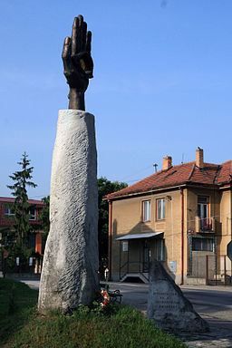 | ||
Dvory nad Žitavou (Hungarian: Udvard) is a municipality and village in the Nové Zámky District in the Nitra Region of south-west Slovakia.
Contents
Map of 941 31 Dvory nad %C5%BDitavou, Slovakia
Geography
The village lies at an altitude of 122 metres and covers an area of 63.85 km².
History
In historical records the village was first mentioned in 1075. It was plundered by Ottomans in 1530 and in 1534. It was also ruled by Ottoman Empire initially between 1550-1554, laterly between 1572-1685 before capturing by Austrian Empire.
After the Austro-Hungarian army disintegrated in November 1918, Czechoslovak troops occupied the area, later acknowledged internationally by the Treaty of Trianon. Between 1938 and 1945 Dvory nad Žitavou once more became part of Miklós Horthy's Hungary through the First Vienna Award. From 1945 until the Velvet Divorce, it was part of Czechoslovakia. Since then it has been part of Slovakia.
Population
According to the 2011 census, the municipality had 5,164 inhabitants. 3,208 of inhabitants were Hungarians, 1,550 Slovaks, 36 Roma, 10 Czechs and 360 others and unspecified.
Facilities
The village has a public library a DVD rental store and a gym. Also, It is the home of Ovocinárske družstvo OVD Dvory nad Žitavou which is a fruit orchard and the biggest producer of apples, peaches, plums, cherries and strawberries in the region.