
 | ||
Similar Saquish Head, Plymouth Light, Myles Standish Monume, King Caesar House, John and Priscilla Alden Fa | ||
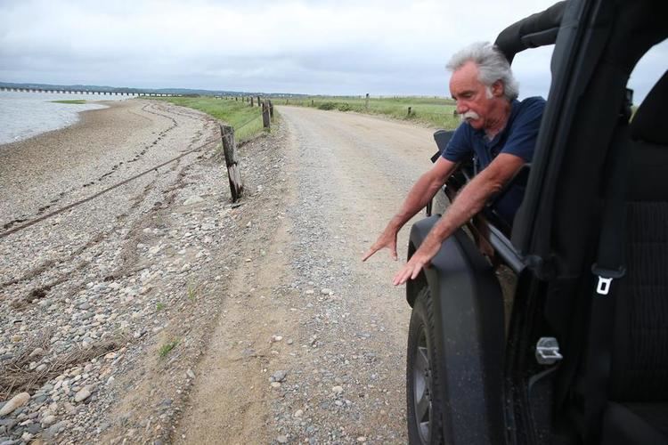
2014 jan 03 an hour before high tide duxbury beach
Duxbury Beach is a beach in the town of Duxbury, Massachusetts. It is six miles long and is accessed by the Powder Point Bridge from Duxbury, or Gurnet Road from Marshfield. Four of the six miles of coastal beach are owned by the "Duxbury Beach Preservation Society," which leases the beach out to the town of Duxbury on a yearly basis, under the circumstances that the town of Duxbury provides Harbormasters to police the area.
Contents
- 2014 jan 03 an hour before high tide duxbury beach
- Map of Duxbury Beach Duxbury MA 02332 USA
- Live on duxbury beach ma www duxburyhomesforsale com 781 934 2000
- References
Map of Duxbury Beach, Duxbury, MA 02332, USA
It is a barrier beach, defined by sand dunes, rosa ragusa, and beach grass. It is 50 yards wide at some points, and is the sole land access to the villages of Saquish and Gurnet Point across the town line in Plymouth, the only land area where the two towns meet. The northern residential end is protected by an Army Corps Of Engineers concrete seawall.
One of the first trans-Atlantic cables came ashore here at Rouse's Hummock, and the first call was made on it (to President James Garfield) by Napoleon III.
It is the home of the former Gurnet Classic Beach Run.
Piping plovers nest there, protected by the town's conservation officers, as well as from the "Duxbury Beach Preservation Society." There is a town beach and a public beach. The north end is developed, while the southern end is marred only by an access road.
Duxbury Beach suffers terribly in hurricanes and nor'easters. It is widely considered to be the focal point of damages in both the Blizzard of '78 and the 1991 Perfect Storm.