
Time zone CST (UTC-6) Elevation 301 m Population 321 (2000) Area code 479 | Established 1885 GNIS feature ID 69786 Area 38.6 km² Local time Wednesday 3:38 AM | |
 | ||
Weather 6°C, Wind SE at 3 km/h, 46% Humidity | ||
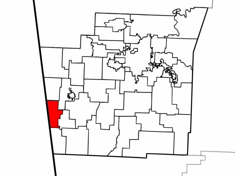
Dutch Mills is one of thirty-seven townships in Washington County, Arkansas, USA. As of the 2000 census, its total population was 321.
Contents
Map of Dutch Mills Township, AR, USA
Geography
According to the United States Census Bureau, Dutch Mills Township covers an area of 19.5 square miles (51 km2); all land. Dutch Mills Township was created in 1885.
Cities, towns, villages
Cemeteries
The township contains White Rock Cemetery.
Major routes
References
Dutch Mills Township, Washington County, Arkansas Wikipedia(Text) CC BY-SA