
Time zone CST (UTC-6) Elevation 198 m Population 278 (2010) | Established November 6, 1849 ZIP codes 61450, 62318, 62330 Area 95.65 km² Local time Wednesday 1:00 AM | |
 | ||
Weather 5°C, Wind W at 11 km/h, 49% Humidity | ||
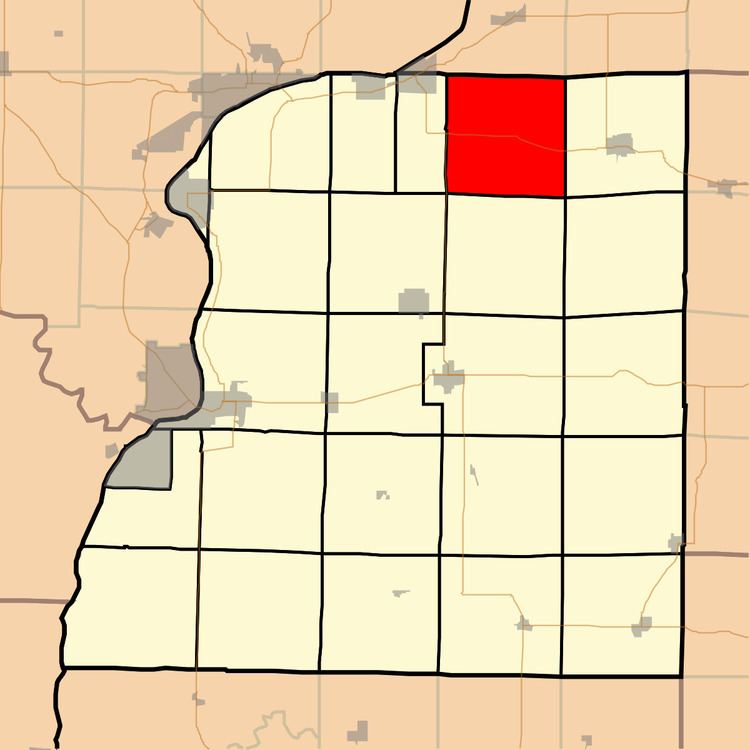
Durham Township is one of twenty-five townships in Hancock County, Illinois, USA. As of the 2010 census, its population was 278 and it contained 129 housing units.
Contents
- Map of Durham Township IL USA
- Geography
- Unincorporated towns
- Cemeteries
- Major highways
- Airports and landing strips
- School districts
- Political districts
- References
Map of Durham Township, IL, USA
Geography
According to the 2010 census, the township has a total area of 36.93 square miles (95.6 km2), of which 36.91 square miles (95.6 km2) (or 99.95%) is land and 0.03 square miles (0.078 km2) (or 0.08%) is water.
Unincorporated towns
(This list is based on USGS data and may include former settlements.)
Cemeteries
The township contains these five cemeteries: Byler, Durham, Gittings, Gittings Mound and Vandruff.
Major highways
Airports and landing strips
School districts
Political districts
References
Durham Township, Hancock County, Illinois Wikipedia(Text) CC BY-SA