
Elevation 204 m Local time Wednesday 12:04 PM | Time zone IST (UTC+5:30) Population 17,369 (2001) | |
 | ||
Weather 32°C, Wind SW at 8 km/h, 49% Humidity | ||
Durgapur is a census town in Chandrapur district in the state of Maharashtra, India.
Contents
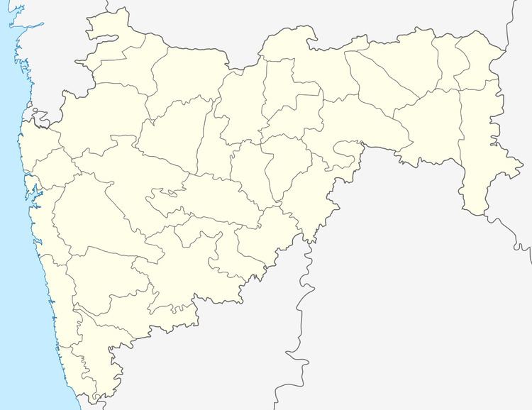
Map of Durgapur, Chandrapur, Maharashtra
Geography
Durgapur is located at 20.0°N 79.3°E / 20.0; 79.3. It has an average elevation of 204 metres (669 feet).
Demographics
As of 2001 India census, Durgapur had a population of 17,369. Males constitute 50% of the population and females 50%. Durgapur has an average literacy rate of 74%, higher than the national average of 59.5%: male literacy is 81% and, female literacy is 66%. In Durgapur, 14% of the population is under 6 years of age.
References
Durgapur, Chandrapur Wikipedia(Text) CC BY-SA