
Country United States Time zone Mountain (MST) (UTC-7) Area 12.15 km² Area code 575 | Elevation 6,276 ft (1,913 m) GNIS feature ID 898762 Population 35 (2010) | |
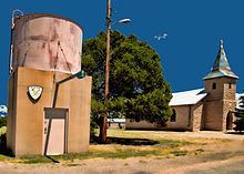 | ||
Duran is a census-designated place in Torrance County, New Mexico, United States. Duran is located at the junction of U.S. Route 54 and New Mexico State Road 3 14 miles (23 km) southwest of Vaughn. As of the 2010 census, its population was 35.
Contents
Map of Duran, New Mexico 88301, USA
History
Duran was laid out in 1902 when the railroad was extended to that point. A post office has been in operation at Duran since 1902.
References
Duran, New Mexico Wikipedia(Text) CC BY-SA