
Length 306 km | Basin area 4,088 km² Country Australia | |
 | ||
Main source Durack Range563 metres (1,847 ft) River mouth Cambridge Gulfsea level Basin size 4,088 square kilometres (1,578 sq mi) Discharge Average rate:408,400 ML/a (12.94 m/s; 457.0 cu ft/s) | ||
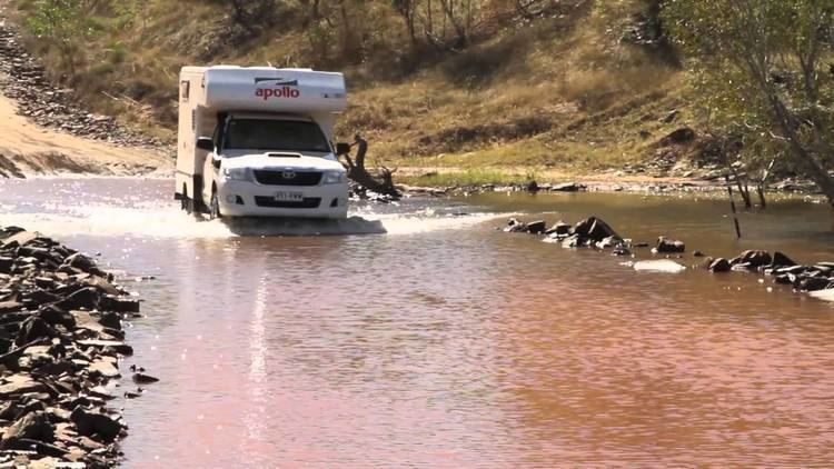
Durack river crossing
Durack River is a river in the Kimberley region of Western Australia.
Contents
- Durack river crossing
- Map of Durack River Durack WA Australia
- Video 154 gibb river road from the durack river to bamboo creek
- References
Map of Durack River, Durack WA, Australia
The river rises below the Durack Range then flows north discharging into the west arm of Cambridge Gulf.
There are 14 tributaries of the Durack including; Chapman River, Wood River, Ellenbrae Creek, Royston Creek, Koolawerii Creek and Wilson Creek.
The river was named in 1882 by the surveyor John Pentecost after explorer and Kimberley pioneer Michael Durack who was the first European to cross the river.
The traditional owners of the area that the river flows through are the Kitja, Ola and Wilawila peoples.
Video 154 gibb river road from the durack river to bamboo creek
References
Durack River Wikipedia(Text) CC BY-SA