
Country United States FIPS code 31-13960 Elevation 798 m Zip code 68833 Local time Tuesday 9:40 PM | Time zone Central (CST) (UTC-6) GNIS feature ID 0828896 Area 60 ha Population 105 (2013) Area code 308 | |
 | ||
Weather 1°C, Wind SW at 11 km/h, 44% Humidity | ||
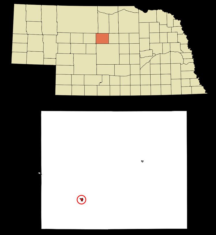
Dunning is a village in Blaine County, Nebraska, United States. The population was 103 at the 2010 census.
Contents
Map of Dunning, NE 68833, USA
History
Dunning was a station on the Chicago, Burlington and Quincy Railroad.
Geography
Dunning is located at 41°49′40″N 100°6′15″W (41.827721, -100.104090).
According to the United States Census Bureau, the village has a total area of 0.23 square miles (0.60 km2), all land.
2010 census
As of the census of 2010, there were 103 people, 44 households, and 29 families residing in the village. The population density was 447.8 inhabitants per square mile (172.9/km2). There were 67 housing units at an average density of 291.3 per square mile (112.5/km2). The racial makeup of the village was 99.0% White and 1.0% African American.
There were 44 households of which 29.5% had children under the age of 18 living with them, 56.8% were married couples living together, 2.3% had a female householder with no husband present, 6.8% had a male householder with no wife present, and 34.1% were non-families. 34.1% of all households were made up of individuals and 11.3% had someone living alone who was 65 years of age or older. The average household size was 2.34 and the average family size was 2.90.
The median age in the village was 40.8 years. 26.2% of residents were under the age of 18; 5.9% were between the ages of 18 and 24; 21.4% were from 25 to 44; 30.2% were from 45 to 64; and 16.5% were 65 years of age or older. The gender makeup of the village was 52.4% male and 47.6% female.
2000 census
As of the census of 2000, there were 109 people, 53 households, and 31 families residing in the village. The population density was 480.0 people per square mile (183.0/km²). There were 70 housing units at an average density of 308.2 per square mile (117.5/km²). The racial makeup of the village was 99.08% White and 0.92% Native American. Hispanic or Latino of any race were 0.92% of the population.
There were 53 households out of which 26.4% had children under the age of 18 living with them, 45.3% were married couples living together, 9.4% had a female householder with no husband present, and 41.5% were non-families. 39.6% of all households were made up of individuals and 20.8% had someone living alone who was 65 years of age or older. The average household size was 2.06 and the average family size was 2.71.
In the village, the population was spread out with 23.9% under the age of 18, 4.6% from 18 to 24, 23.9% from 25 to 44, 29.4% from 45 to 64, and 18.3% who were 65 years of age or older. The median age was 44 years. For every 100 females there were 84.7 males. For every 100 females age 18 and over, there were 76.6 males.
As of 2000 the median income for a household in the village was $28,500, and the median income for a family was $30,833. Males had a median income of $21,719 versus $19,583 for females. The per capita income for the village was $13,725. There were 5.6% of families and 6.1% of the population living below the poverty line, including 3.8% of under eighteens and 9.1% of those over 64.