
Time zone CST (UTC-6) Elevation 223 m Zip code 61025 Population 3,820 (2010) | Established March 2, 1865 ZIP codes 61025 Area 30.43 km² Local time Tuesday 9:12 PM | |
 | ||
Weather 6°C, Wind W at 19 km/h, 59% Humidity | ||
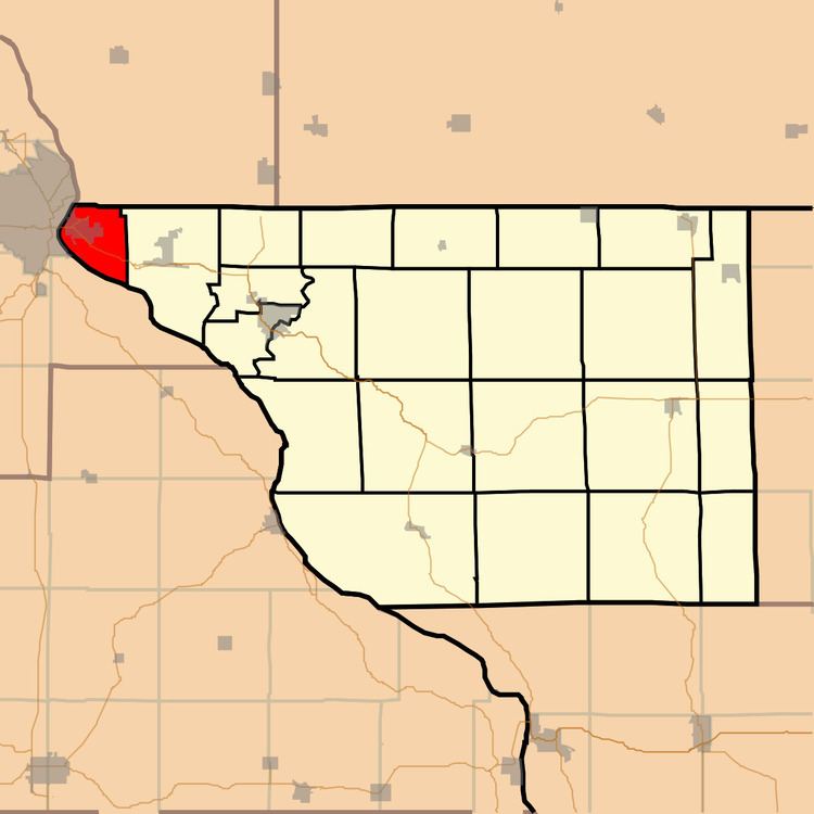
Dunleith Township is one of twenty-three townships in Jo Daviess County, Illinois, USA. As of the 2010 census, its population was 3,820 and it contained 1,713 housing units. It was formed from Menominee Township on March 2, 1865.
Contents
- Map of Dunleith Township IL 61025 USA
- Geography
- Cities towns villages
- Adjacent townships
- Major highways
- Lakes
- School districts
- Political districts
- References
Map of Dunleith Township, IL 61025, USA
Geography
According to the 2010 census, the township has a total area of 11.75 square miles (30.4 km2), of which 9.45 square miles (24.5 km2) (or 80.43%) is land and 2.29 square miles (5.9 km2) (or 19.49%) is water.
Cities, towns, villages
Adjacent townships
Major highways
Lakes
School districts
Political districts
References
Dunleith Township, Jo Daviess County, Illinois Wikipedia(Text) CC BY-SA