
County Union Time zone Eastern (EST) (UTC-5) Elevation 236 m | State Indiana ZIP code 47353 Local time Tuesday 10:10 PM | |
 | ||
Weather 7°C, Wind W at 11 km/h, 65% Humidity | ||
Dunlapsville is an unincorporated community in Liberty Township, Union County, in the U.S. state of Indiana.
Contents
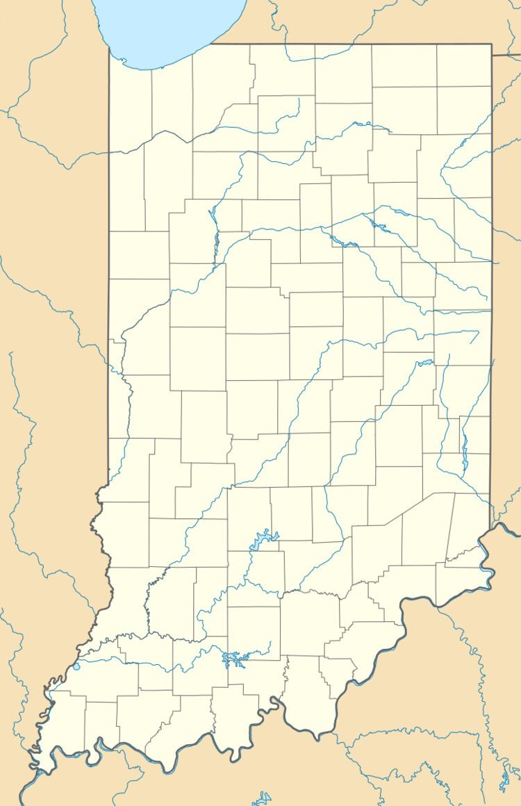
Map of Dunlapsville, IN 47353, USA
History
Dunlapsville is named for one of its first settlers, John Dunlap.
A post office was established at Dunlapsville in 1818, and remained in operation until it was discontinued in 1903.
Geography
Dunlapsville is located at 39°35′27″N 84°59′37″W.
References
Dunlapsville, Indiana Wikipedia(Text) CC BY-SA