
FIPS code 19-22890 Elevation 349 m Population 1,008 (2013) Area code 712 | Time zone Central (CST) (UTC-6) GNIS feature ID 0456066 Zip code 51529 Local time Tuesday 9:06 PM | |
 | ||
Weather 4°C, Wind SW at 11 km/h, 48% Humidity Area 2.978 km² (2.927 km² Land / 5 ha Water) | ||
Dunlap is a city in Harrison County, Iowa, United States, along the Boyer River. The population was 1,042 at the 2010 census.
Contents
- Map of Dunlap IA 51529 USA
- History
- Geography
- 2010 census
- 2000 census
- Economy
- Education
- Notable people
- References
Map of Dunlap, IA 51529, USA
History
Dunlap was platted in 1867, and it was incorporated in 1871. The city was named for George L. Dunlap, a railroad official.
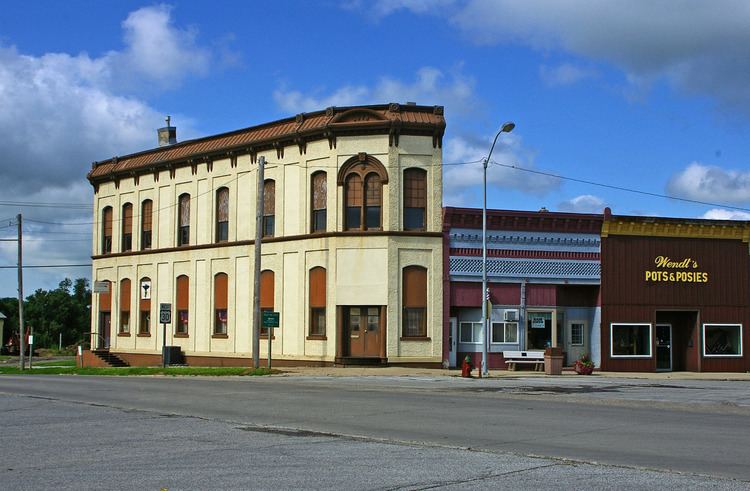
Dunlap's historic Independent Order of Odd Fellows Hall was added to the National Register of Historic Places in June 2011.
Geography
Dunlap is located at 41°51′14″N 95°36′0″W (41.853952, -95.599862).
According to the United States Census Bureau, the city has a total area of 1.15 square miles (2.98 km2), of which, 1.13 square miles (2.93 km2) is land and 0.02 square miles (0.05 km2) is water.
2010 census
As of the census of 2010, there were 1,042 people, 466 households, and 279 families residing in the city. The population density was 922.1 inhabitants per square mile (356.0/km2). There were 519 housing units at an average density of 459.3 per square mile (177.3/km2). The racial makeup of the city was 98.0% White, 0.7% Native American, 0.2% Asian, and 1.2% from two or more races. Hispanic or Latino of any race were 0.8% of the population.
There were 466 households of which 23.4% had children under the age of 18 living with them, 45.7% were married couples living together, 11.6% had a female householder with no husband present, 2.6% had a male householder with no wife present, and 40.1% were non-families. 37.8% of all households were made up of individuals and 22.1% had someone living alone who was 65 years of age or older. The average household size was 2.15 and the average family size was 2.82.
The median age in the city was 46.9 years. 21% of residents were under the age of 18; 5.9% were between the ages of 18 and 24; 21.1% were from 25 to 44; 26.6% were from 45 to 64; and 25.5% were 65 years of age or older. The gender makeup of the city was 48.0% male and 52.0% female.
2000 census
As of the census of 2000, there were 1,139 people, 483 households, and 282 families residing in the city. The population density was 1,043.9 people per square mile (403.5/km²). There were 524 housing units at an average density of 480.2 per square mile (185.6/km²). The racial makeup of the city was 98.33% White, 0.18% African American, 0.26% Native American, 0.09% Asian, and 1.14% from two or more races. Hispanic or Latino of any race were 0.26% of the population.
There were 483 households out of which 24.8% had children under the age of 18 living with them, 45.8% were married couples living together, 8.9% had a female householder with no husband present, and 41.6% were non-families. 37.3% of all households were made up of individuals and 23.8% had someone living alone who was 65 years of age or older. The average household size was 2.24 and the average family size was 2.97.
22.4% are under the age of 18, 6.8% from 18 to 24, 23.6% from 25 to 44, 20.4% from 45 to 64, and 26.9% who were 65 years of age or older. The median age was 43 years. For every 100 females there were 90.5 males. For every 100 females age 18 and over, there were 83.0 males.
The median income for a household in the city was $31,100, and the median income for a family was $39,762. Males had a median income of $26,094 versus $17,452 for females. The per capita income for the city was $17,936. About 6.8% of families and 10.5% of the population were below the poverty line, including 14.2% of those under age 18 and 9.2% of those age 65 or over.
Economy
Dunlap is home to a small number of shops, two gas stations, two bars, and a grocery store. Dunlap is also the home of a feed manufacturing plant. There is a steak house, and two restaurants to serve customers.
Education
Boyer Valley South is located in Dunlap. It is the high school for the Boyer Valley Community School system. The Dunlap public library along with the school's library joined together by a grant when the new school was built, which was finished in 2004.