
Time zone CET (UTC+1) Area 43.19 km² Population 528 (2015) | County Bács-Kiskun Postal code 6325 Local time Wednesday 12:53 AM Area code 78 | |
 | ||
Weather 7°C, Wind NW at 11 km/h, 76% Humidity | ||
Dunatetétlen (Croatian: Tatilan) is a village in Bács-Kiskun county, in the Southern Great Plain region of Hungary.
Contents
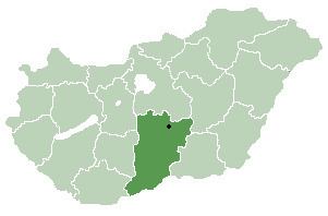
Map of Dunatet%C3%A9tlen, Hungary
Geography
It covers an area of 4,319 km2 (1,668 sq mi) and has a population of 528 people (2015).
References
Dunatetétlen Wikipedia(Text) CC BY-SA