Established 1386 Time zone EET (UTC+2) Area 2.84 km² Postal code 81234 | Elevation/(average value of) 307 m (1,007 ft) Area code +380 3263 Local time Wednesday 1:44 AM | |
 | ||
Weather 4°C, Wind E at 8 km/h, 87% Humidity | ||
Dunaiv (Ukrainian: Дуна́їв) is a village in Peremyshliany Raion, Lviv Oblast in western Ukraine. Local government is administered by Dunaivska village council.
Area of the village totals is 2.84 km2 and the population of village is 683 persons.
Contents
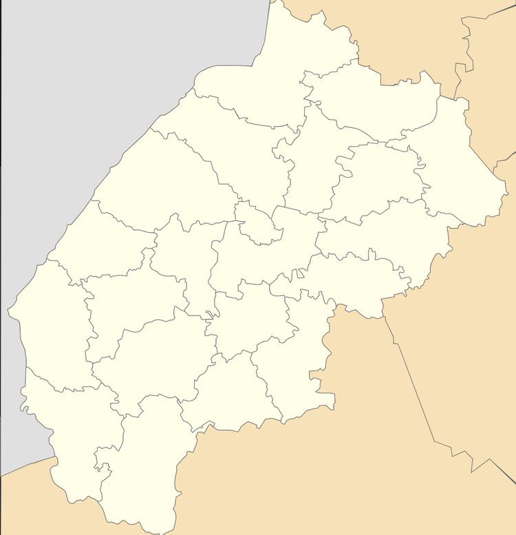
Map of Dunaiv, Lvivska, Ukraine
Geography
The village is located in the Peremyshlianskyi district (Peremyshliany Raion) on the border of the Ternopil Oblast. It is situated in the distance 74 kilometres (46 mi) from the regional center of Lviv, 24 kilometres (15 mi) from the district center Peremyshliany, and 64 kilometres (40 mi) from Ternopil.
History
The first known written reference – July 15, 1386. Governor of Galicia–Volhynia Vladyslav Opolchyk gave the village an everlasting possession.
In 1413 was founded the Catholic church parish in Dunaiv. The diocese was canonically erected on August 28, 1412 by Pope Gregory XII.
Monuments of architecture
Architectural monuments of the Peremyshliany Raion are located in the village Dunaiv:
