
Climate Cwb Population 1,773 (1991) | Zone Karnali Zone Time zone NST (UTC+5:45) Elevation 2,000 m Local time Wednesday 5:29 AM | |
 | ||
Weather 4°C, Wind E at 3 km/h, 69% Humidity | ||
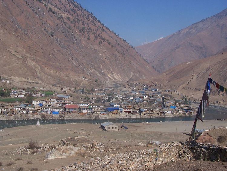
Dunai is the district headquarters of Dolpa District in Nepal. The town is on the banks of the Thuli Bheri River at about 2,000 metres (6,562 ft) elevation.
Map of Dunai 21400, Nepal
The 1991 Nepal census counted 1,773 persons in 334 households.
Dunai has one FM radio station: Radio Dolpa 101.4 MHz which is a community radio station. There is one hospital: the 15-bed Dolpa District Hospital.
In education, there is the Dolpa Campus affiliated with Tribhuvan University, one high school: Sarswoti Higher Secondary School affiliated with HSEB, and the Dunai Community Library which is a community learning center.
Dolpa Airport is 10 kilometres (6 mi) WNW of the town with flights to Nepalgunj, Birendranagar and Pokhara.
References
Dunai, Nepal Wikipedia(Text) CC BY-SA