
Time zone CET (UTC+1) Area 57.89 km² Local time Wednesday 12:43 AM | County Bács-Kiskun Postal code 6513 Population 905 (2015) Area code 69 | |
 | ||
Weather 7°C, Wind N at 18 km/h, 86% Humidity | ||
Dunafalva (Croatian: Topolovac) is a village and municipality in Bács-Kiskun county, in the Southern Great Plain region of southern Hungary.
Contents
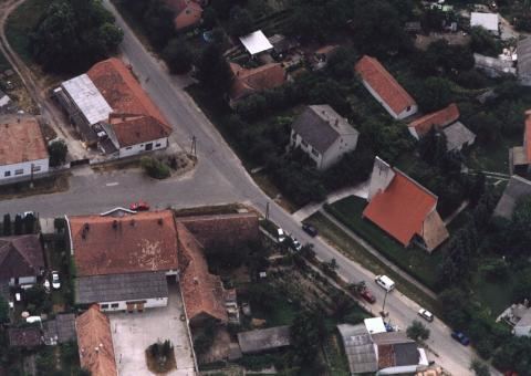
Map of Dunafalva, 6513 Hungary
History
The village was established in 1954 by Dunaszekcsőnek lying on the left side of the outer parts of the Danube.
Geography
It covers an area of 57.89 km2 (22 sq mi) and has a population of 905 people (2015).
Demographics
References
Dunafalva Wikipedia(Text) CC BY-SA