
Area 454.2 km² | Time zone BST (UTC+6) | |
 | ||
Website Official Map of Dumuria | ||
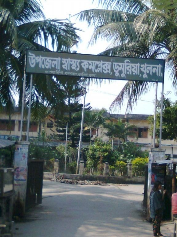
Dumuria (Bengali: ডুমুরিয়া) is an Upazila of Khulna District in the Division of Khulna, Bangladesh.
Contents
Map of Dumuria Upazila, Bangladesh
Geography
Dumuria is located at 22.8083°N 89.4250°E / 22.8083; 89.4250. It has 46,251 households and a total area of 454.23 square kilometres (175.38 sq mi). There are two major rivers, Shipsha and Shangrail.
Demographics
According to the 1991 Bangladesh census, Dumuria had a population of 256,503. Males constituted 51.12% of the population, and females 48.88%. The population aged 18 or over was around 138,764. Dumuria had an average literacy rate of 36.1% (7+ years), compared to the national average of 32.4% .
Administration
Dumuria Upazila administration is derived under Dumuria Upazila Parishad. Dumuria has 14 Unions/Wards, 204 Mauzas/Mahallas, and 230 villages. Senpara is a notable village of Dumuria Upozilla because The Sena Dynasty lived here in ancient times. It is in the Sharafpur union Parisod.