
Country Ukraine Established 1463 Time zone EET (UTC+2) Area 25.2 km² Province Lviv Oblast | District Stryi Raion Elevation/(average value of) 305 m (1,001 ft) Postal code 82434 Local time Tuesday 11:52 PM | |
 | ||
Weather 4°C, Wind SE at 2 km/h, 88% Humidity | ||
Duliby (Ukrainian: Дулі́би) is a village (selo) located along the Stryi River in the Stryi Raion (district) of the Lviv Oblast (province) in Western Ukraine.
The population of the village is about 3 671 people. Local government is administered by Dulibivska village council.
Contents
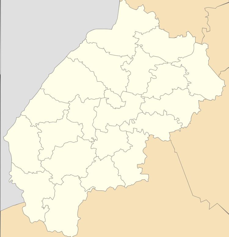
- Map of Duliby Lvivska Ukraine
- Geography
- History
- Cult constructions and religion
- Famous people
- Literature
- References
Map of Duliby, Lvivska, Ukraine
Geography
The village is located in the direction of the Highway M06 (Ukraine) () at a distance 3 kilometres (1.9 mi) from Stryi, 75 kilometres (47 mi) from the regional center of Lviv and 192 kilometres (119 mi) from Uzhhorod.
History
The first mention recorded in the court documents dated 1463.
Cult constructions and religion
Church of St. George 1923 (Wooden) and church of the Transfiguration (stone) is in the village.
Famous people
Literature
References
Duliby, Stryi Raion Wikipedia(Text) CC BY-SA