
Time zone EST (UTC-5) Local time Tuesday 11:28 AM | ||
 | ||
Weather 27°C, Wind NE at 21 km/h, 76% Humidity | ||
Duckenfield, Jamaica is a village in St Thomas, in south-east Jamaica. It is named after the sugar plantation on which it is located. It is a very poor community, but it has grown substantially in recent years. There were plans to build an international airport in the vicinity in order to open the eastern end of the island to tourism, but these have since been shelved.
Contents
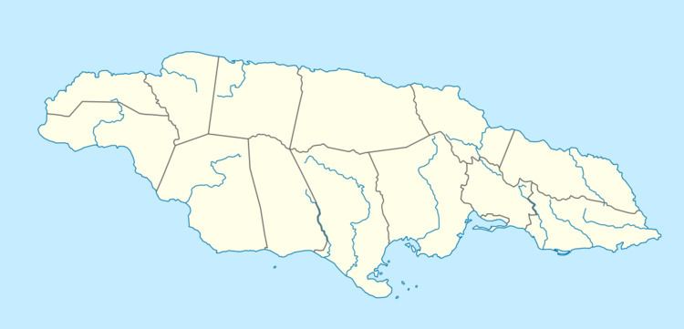
Map of Duckenfield, Jamaica
The economy of Duckenfield is dominated by the nearby sugar estate and factory which are the only major employers in the vicinity. Any change in the fortunes of the sugar industry has an immediate and dramatic effect.
Amenities
There are two primary schools, Duckenfield Primary and Dalvey Primary. a hospital and a post office.
References
Duckenfield, Jamaica Wikipedia(Text) CC BY-SA