
Country United States ZIP code 67634 Elevation 574 m | Time zone Central (CST) (UTC-6) Area code(s) 785 Local time Tuesday 9:09 AM | |
 | ||
Weather 3°C, Wind W at 26 km/h, 27% Humidity | ||
Dubuque is an unincorporated community in Barton and Russell Counties in the U.S. state of Kansas.
Contents
Map of Dubuque, Beaver, KS 67544, USA
History
Polish immigrants from Illinois, Indiana, and Wisconsin first settled the area after the American Civil War. They were soon followed by Volga Germans from Minnesota, Wisconsin, and Dubuque, Iowa. A rural post office named Dubuque opened in 1879, and the village was formally established in 1887. Devout Catholics, the local townsfolk built their first church in the early 1870s. They replaced it in 1901 with St. Catherine Catholic Church which still stands. The post office closed in 1909. By the 1920s, Dubuque had begun to lose its population and its business community. Today, all that remains are the church and a cemetery.
Geography
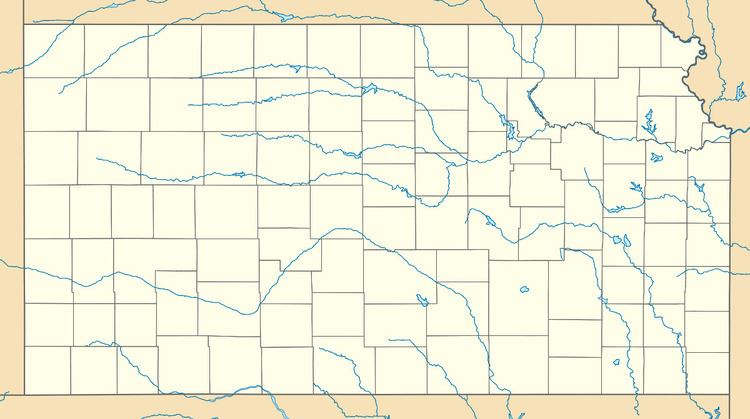
Dubuque is located at 38°41′45″N 98°36′32″W (38.6958442, -98.6089626) at an elevation of 1,883 feet (574 m). It lies 7 miles (11 km) south of the Smoky Hill River in the Smoky Hills region of the Great Plains. Located on the Barton County-Russell County line, Dubuque is roughly 18 miles (29 km) southeast of Russell and 24 miles (39 km) north-northeast of Great Bend. It is approximately 11 miles (18 km) south of Interstate 70 and 13 miles (21 km) east of U.S. Route 281.