Time zone CET (UTC+1) License plates ZG Population 1,586 (2001) Area code 01 | Postal codes 10293 Area 20.61 km² Local time Tuesday 3:52 PM | |
 | ||
Settlements 10 settlementsBobovec RozganskiDonji ČemehovecDubravica (seat)Kraj GornjiLugarski BregLukavec SutlanskiPologiProsinecRozgaVučilčevo Weather 11°C, Wind N at 18 km/h, 53% Humidity | ||
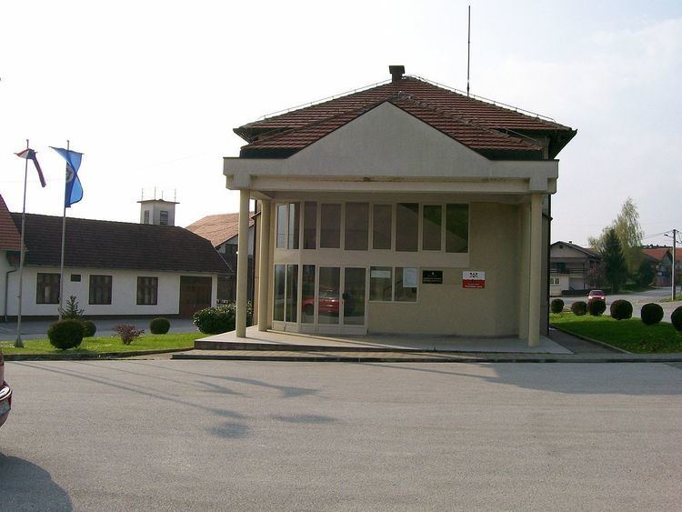
Dubravica is a municipality in Zagreb County, Croatia. According to the 2001 census, there are 1,586 inhabitants, absolute majority of which are Croats.
Contents
- Map of 10293 Dubravica Croatia
- Geography
- Origin of name
- Settlements
- Notable people from Dubravica
- References
Map of 10293, Dubravica, Croatia
Geography
Dubravica municipality is located in the northwestern part of Zagreb County.
From the north it borders with the Krapina-Zagorje County and Municipality Kraljevec na Sutli, the Municipality of Luka and the city of Zaprešić, the Southeast Pušća Municipality, on the south by the Municipality of Marija Gorica, while the west washes the Sutla river where is the border with Slovenia.
In the west, the municipality covers a large part of the fertile valley, and its eastern parts are picturesque gentle hills of Zagorje and Prigorje.
Origin of name
The name Dubravica itself originates from an oak forest Dubrava, which was once covered the entire area, and even today it is not uncommon to find a typical forest plants such as wood anemone, or saffron, and the occasional oak tree in the meadows in the valley of the river Sutla.
