
District České Budějovice Area 16.78 km² | Postal code 373 84 Elevation 410 m | |
 | ||
Dubn czech republic 19 07 2016 16 04 return to the nest feeding
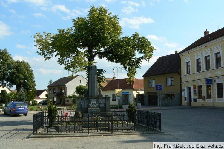
Dubné is a village and municipality (obec) in České Budějovice District in the South Bohemian Region of the Czech Republic.
Contents
- Dubn czech republic 19 07 2016 16 04 return to the nest feeding
- Map of DubnC3A9 Czechia
- Parts of Dubn
- History
- References
Map of Dubn%C3%A9, Czechia
The municipality covers an area of 16.78 square kilometres (6.48 sq mi), and has a population of 1,293 (as at 31 December 2007).
Dubné lies approximately 9 kilometres (6 mi) west of České Budějovice and 124 km (77 mi) south of Prague.
Parts of Dubné
Taken from census, total of 365 houses and 1079 residents on March 1, 2001)
History
The first written mention of the village dates back to 1263, it is about a vladyka (lower nobleman) Sudslav of Dubné (Zvzlab de Dvdem). The village was held by a lower nobility (of Dubné, Roubíkové of Hlavatce, Dubenští of Chlum, Ojířové of Protivec) until the end of Bohemian Revolt, then it was confiscated to Adam Chval Kunáš of Machovice and in 1623 it was sold to the royal city of České Budějovice, which was the owner of Dubné until the abolition of poddanství(inequality of noble and common people). Since 1850 Dubné is an independent village, the other parts were connected in June 12, 1960.