
- land 0.5 sq mi (1 km) - summer (DST) EDT (UTC-4) Population 2,154 (2013) | - water 0.0 sq mi (0 km), 0% Local time Tuesday 9:24 AM | |
 | ||
Weather 4°C, Wind N at 2 km/h, 100% Humidity | ||
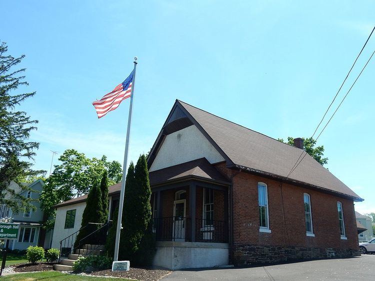
Parallel parking test at dublin pennsylvania
Dublin is a borough in Bucks County, Pennsylvania, United States. The population was 2,158 at the 2010 census. Dublin is part of Pennridge School District.
Contents
- Parallel parking test at dublin pennsylvania
- Map of Dublin PA USA
- Geography
- Overview
- Demographics
- References
Map of Dublin, PA, USA
Geography
Dublin is located at 40°22′24″N 75°12′9″W (40.373270, -75.202464).
According to the United States Census Bureau, the borough has a total area of 0.5 square miles (1.3 km2), all of it land.
Overview
Dublin extends along a stretch of Pennsylvania Route 313 which connects the much larger towns of Doylestown and Quakertown. Almost the entire town can be viewed from 313 with only a few streets diverging from the main road. The town is surrounded by sparse housing developments and a series of dairy farms and nurseries, all of which are part of Hilltown Township and Bedminster Township. Dublin contains a small shopping center, a Department of Motor Vehicles Center, a pharmacy and 5 restaurants. Several rows of old houses line 313, some of which date back to the late 18th century. The majority of Dublin's population lives in several developments around the main part of town. Dublin has its own municipal government and maintains a fire station. Dublin has its own local police department and relies on Pennsylvania State Police when not on duty.
Demographics
As of the 2010 census, the borough was 90.5% White, 1.4% Black or African American, 0.1% Native American, 2.0% Asian, and 2.1% were two or more races. 8.9% of the population were of Hispanic or Latino ancestry [1].
As of the census of 2000, there were 2,083 people, 851 households, and 520 families residing in the borough. The population density was 3,825.7 people per square mile (1,489.4/km²). There were 869 housing units at an average density of 1,596.0 per square mile (621.3/km²). The racial makeup of the borough was 93.90% White, 1.59% African American, 0.19% Native American, 1.15% Asian, 0.14% Pacific Islander, 0.48% from other races, and 1.44% from two or more races. Hispanic or Latino of any race were 1.97% of the population.
There were 851 households, out of which 35.4% had children under the age of 18 living with them, 47.7% were married couples living together, 9.3% had a female householder with no husband present, and 38.8% were non-families. 29.1% of all households were made up of individuals, and 6.5% had someone living alone who was 65 years of age or older. The average household size was 2.45 and the average family size was 3.10.
In the borough the population was spread out, with 26.4% under the age of 18, 10.3% from 18 to 24, 38.5% from 25 to 44, 16.5% from 45 to 64, and 8.3% who were 65 years of age or older. The median age was 32 years. For every 100 females there were 98.6 males. For every 100 females age 18 and over, there were 99.6 males.
The median income for a household in the borough was $48,235, and the median income for a family was $55,724. Males had a median income of $37,441 versus $26,589 for females. The per capita income for the borough was $21,778. About 4.3% of families and 6.2% of the population were below the poverty line, including 6.2% of those under age 18 and 7.0% of those age 65 or over.