
County Hamilton FIPS code 39-22660 Elevation 281 m Population 2,782 (2010) | State Ohio Time zone Eastern (EST) (UTC-5) GNIS feature ID 1064556 Area 10.7 km² | |
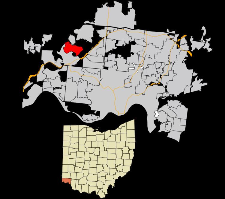 | ||
Dry Ridge is a census-designated place (CDP) in Colerain Township, Hamilton County, Ohio, United States. The population was 2,782 at the 2010 census.
Geography
Dry Ridge is located at 39°15′37″N 84°37′10″W, 14 miles (23 km) northwest of downtown Cincinnati. Interstate 275 forms the southeastern edge of the CDP, and Colerain Avenue (U.S. Route 27) forms the eastern edge. Dry Ridge Road runs east–west through the CDP, which extends west to the Great Miami River.
According to the United States Census Bureau, the CDP has a total area of 4.1 square miles (10.7 km2), all land.
References
Dry Ridge, Ohio Wikipedia(Text) CC BY-SA