
County Hamilton Time zone Eastern (EST) (UTC-5) | Elevation 853 ft (260 m) Population 58,499 (2010) | |
 | ||
ZIP codes 45239, 45247, 45251, 45252, 45253 (P.O. Boxes only), also a small part of 45231 Weather 16°C, Wind W at 31 km/h, 21% Humidity Area 111.9 km² (111.1 km² Land / 78 ha Water) Points of interest Triple Creek, Colerain Park, Clippard Park, Dravo, Farbach‑Werner Nature Preserve | ||
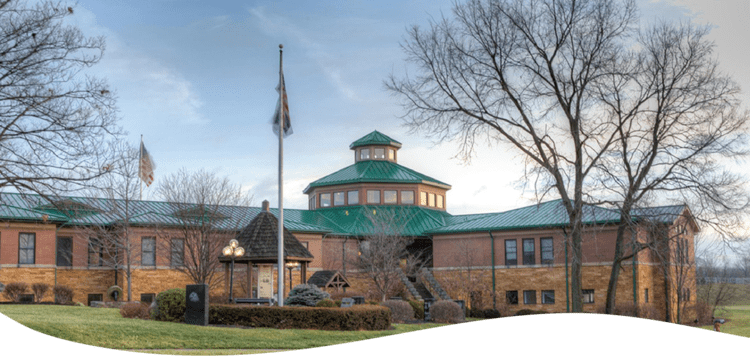
Colerain Township is one of the twelve townships of Hamilton County, Ohio, United States. The population of the township was 58,499 at the 2010 census. It is the second-largest township in Ohio by population to West Chester Twp., Butler County, Ohio and the second-largest in area to Madison Township, Lake County, Ohio.
Contents
Map of Colerain Township, OH, USA
Geography
Located in the northern part of the county, it borders the following townships and cities:
The only municipality in Colerain Township is a small part of the city of North College Hill in the far southeast, but ten census-designated places occupy most of the township in the east
The unincorporated communities of White Oak, Groesbeck, Northbrook, and Northgate are all within the township.
The township is composed of 42.9 sq mi (111 km²) of gentle wooded hills separating the Mill Creek and Great Miami River basins, sloping down to the flood plain of the Miami. The terrain generally rises toward the north of the township. As of 1990, 29% of the township's land had been urbanized, and 15% developed as agricultural property, while half remained as woodlands. The township is crossed by Interstates 74 and 275, while the main north-south artery is Colerain Avenue (U.S. Route 27).
Name and history
Statewide, other Colerain Townships are located in Belmont and Ross counties. The village of Colerain was laid out in 1790 by surveyor John Dunlap, who was a native of Coleraine, Ireland. Fort Coleraine, aka Dunlap's Station, was one of the earliest attempts to settle the area despite the natives who had resided here for centuries without signing any land treaties.
The township was organized in 1794.
Government
The township is governed by a three-member board of trustees, who are elected in November of odd-numbered years to a four-year term beginning on the following January 1. Two are elected in the year after the presidential election and one is elected in the year before it. There is also an elected township fiscal officer, who serves a four-year term beginning on April 1 of the year after the election, which is held in November of the year before the presidential election. Vacancies in the fiscal officership or on the board of trustees are filled by the remaining trustees.
Colerain Township has a sister city arrangement with Obergiesing, a suburb of the German city of Munich.