
Mouth Tug Fork | Country United States of America | |
 | ||
Main source Stony Ridge near Adria, Tazewell County, Virginia River mouth Tug Fork at Iaeger, McDowell County, West Virginia | ||
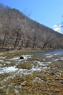
The Dry Fork is a 47.7-mile-long (76.8 km) tributary of the Tug Fork, belonging to the Ohio River watershed. The river is located in McDowell County, West Virginia and Tazewell County, Virginia, in the United States. The mouth of the Dry Fork into the Tug Fork is located at Iaeger.
Contents
- Map of Dry Fork Iaeger WV USA
- Variant names
- Tributaries
- List of cities and towns along the Dry Fork
- References
Map of Dry Fork, Iaeger, WV, USA
Variant names
According to the United States Geological Survey's Geographic Names Information System, the Dry Fork has been known by the following names throughout its history:
Tributaries
Tributary streams are listed from source to mouth.
List of cities and towns along the Dry Fork
References
Dry Fork (Tug Fork) Wikipedia(Text) CC BY-SA