
Population 408 (2001 Census) Post town LISBURN Local time Tuesday 7:26 AM | Sovereign state United Kingdom Postcode district BT27 Province Ulster Dialling code 028 | |
 | ||
Weather 2°C, Wind S at 8 km/h, 89% Humidity | ||
The magic band drumbo drum solo under the bridge 2013
Drumbo (from Irish: Druim Bó, meaning "ridge of the cow") is a small village, townland (of 1,274 acres) and civil parish in County Down, Northern Ireland. It lies about 6 miles (9.7 km) south of Belfast city centre, 3 miles (4.8 km) east of Lisburn and 3 miles (4.8 km) west of Carryduff. It is situated in the historic barony of Castlereagh Upper. The 2001 Census recorded the village's population as being 408.
Contents
- The magic band drumbo drum solo under the bridge 2013
- Map of Drumbo Lisburn UK
- De gele rijders drumbo
- Civil parish of Drumbo
- Townlands
- References
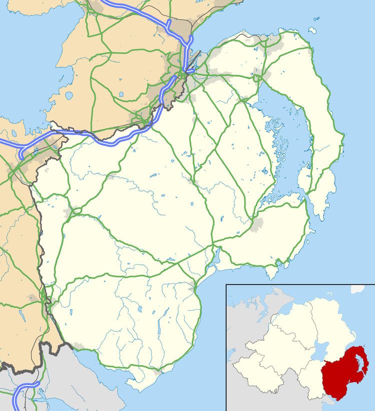
Map of Drumbo, Lisburn, UK
The village is set on the edge of a ridge where the drumlin country of County Down starts to descend into the Lagan Valley. It is laid out around a junction of routes meeting at the front of the Presbyterian Church, which is a listed building. The current church building is beside the site of the medieval parish church, the foundations of which can be seen in the graveyard, as can the lower half of the truncated Drumbo round tower, a scheduled historic monument. The round tower was originally built here to take advantage of the panoramic views over the Lagan Valley. At the time of the tower's construction, these views would have been useful in spotting oncoming Viking raiders. The tower formed part of a monastery.
The area is designated in the DOE(NI) area development plan as an 'area of outstanding scenic amenity value'. The village lies on the southern edge and the northern part of the townland lies within the Lagan Valley Area of Outstanding Natural Beauty.
The present village has expanded to the south-east along the ridge away from the church and graveyard, with much of the built form developing in the late 20th century. The church buildings still occupy a prominent site in the middle of the settlement. Drumbo functions as a small service centre and facilities include Drumbo Presbyterian Church and Hall, a community hall and a playground and playing fields at Front Road.
A feature in the heart of the village is a wrought iron pump with a distinctive double wheel crank mounted at the junction which forms the centre of the village adjacent to the presbyterian church, round tower and village hall. Directly opposite this pump is the building which was for many years the post office for the village. A short distance South of this a blacksmith's foundry operates.
De gele rijders drumbo
Civil parish of Drumbo
The civil parish includes the urban area of Carryduff.
Townlands
The civil parish includes the following townlands: